UW Automatic Weather Stations - 2006
| Regions:Years: |
Ross%20Ice%20Shelf Stations (2006): |
|||||||||||||||||||||
Gill AWSOwner:Site Code: GIL Initial Start Date: 1985-01-24 Info from Service Visit: 2005-02-02 Latitude: -79.922 S Longitude: -178.586 W Elevation: 54 meters WMO ID: 89376 AWS Model: AWS2B ARGOS ID: 8911 2006 Archive (FTP): 3-hourly | 10-minute Station Records:
Notes: Station was named for an Antarctic LC-130 pilot. Tower raise and full new set of instruments on 2-2-11 (approximate ground time 2.25 hours) Team: Jonathan and Melissa Moral: Matthew and Jeffrey Pilots: Brian and Jason UNAVCO GPS was set out. Approximate times were 11:00-2:15. It was about a 1.5 hour Twin Otter flight from Pegasus. The lower temperature sensor and junction box were below the snow level. We removed all of the instruments from the station. The original heights were as follows: Electronics box 24" Solar panel: 68" Boom: 99" J-box: at the surface Lower temp: below the surface We added a 7' tower section and installed all new instruments. Two additional batteries were placed at the site. The telonics received a good transmission. Final instrument heights: Lower temp: 60" RH: 85" Electronics box: 87" ADG: 138" Upper temp: 190: Aerovane: 204" | 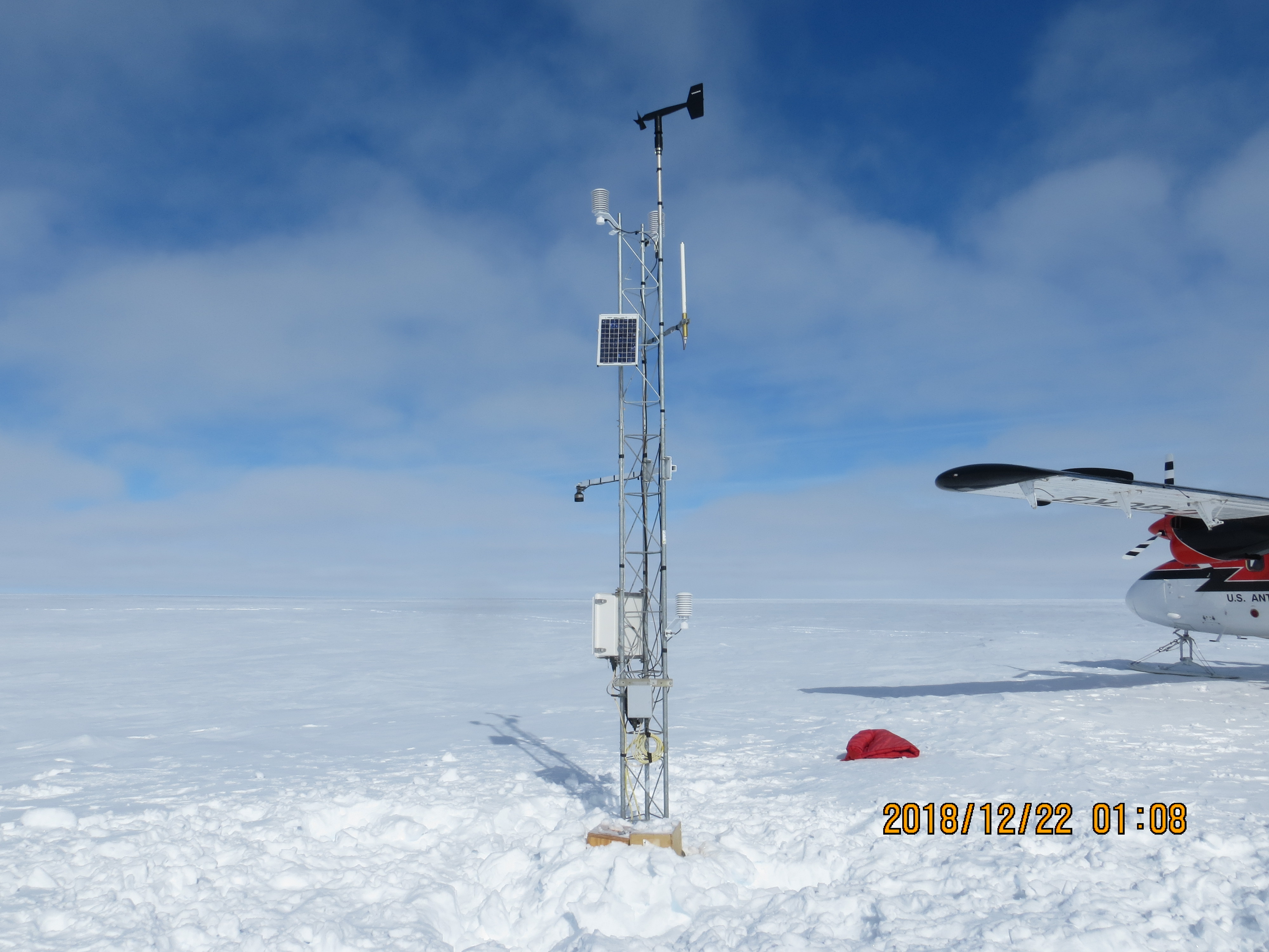 11 Photos 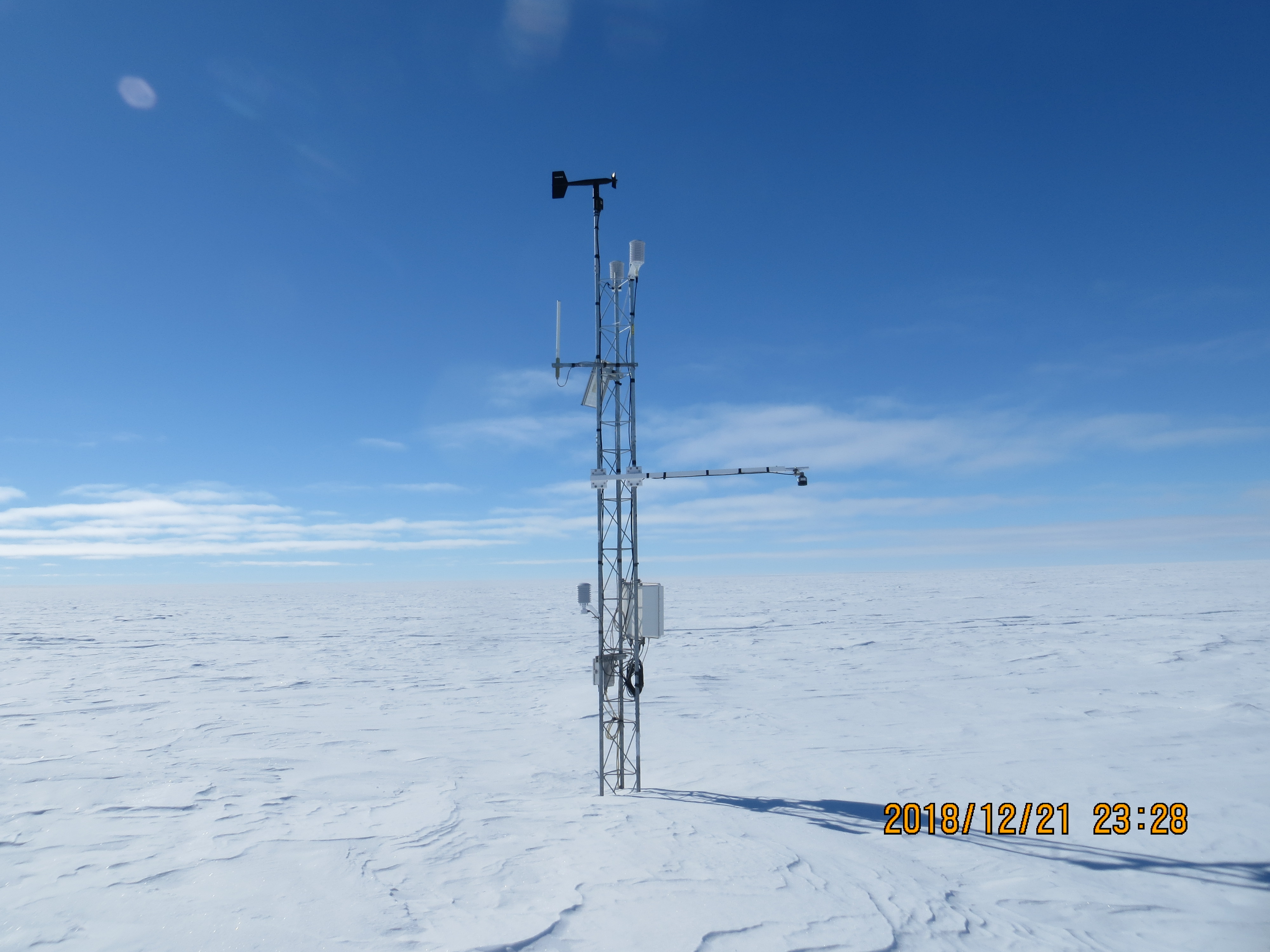 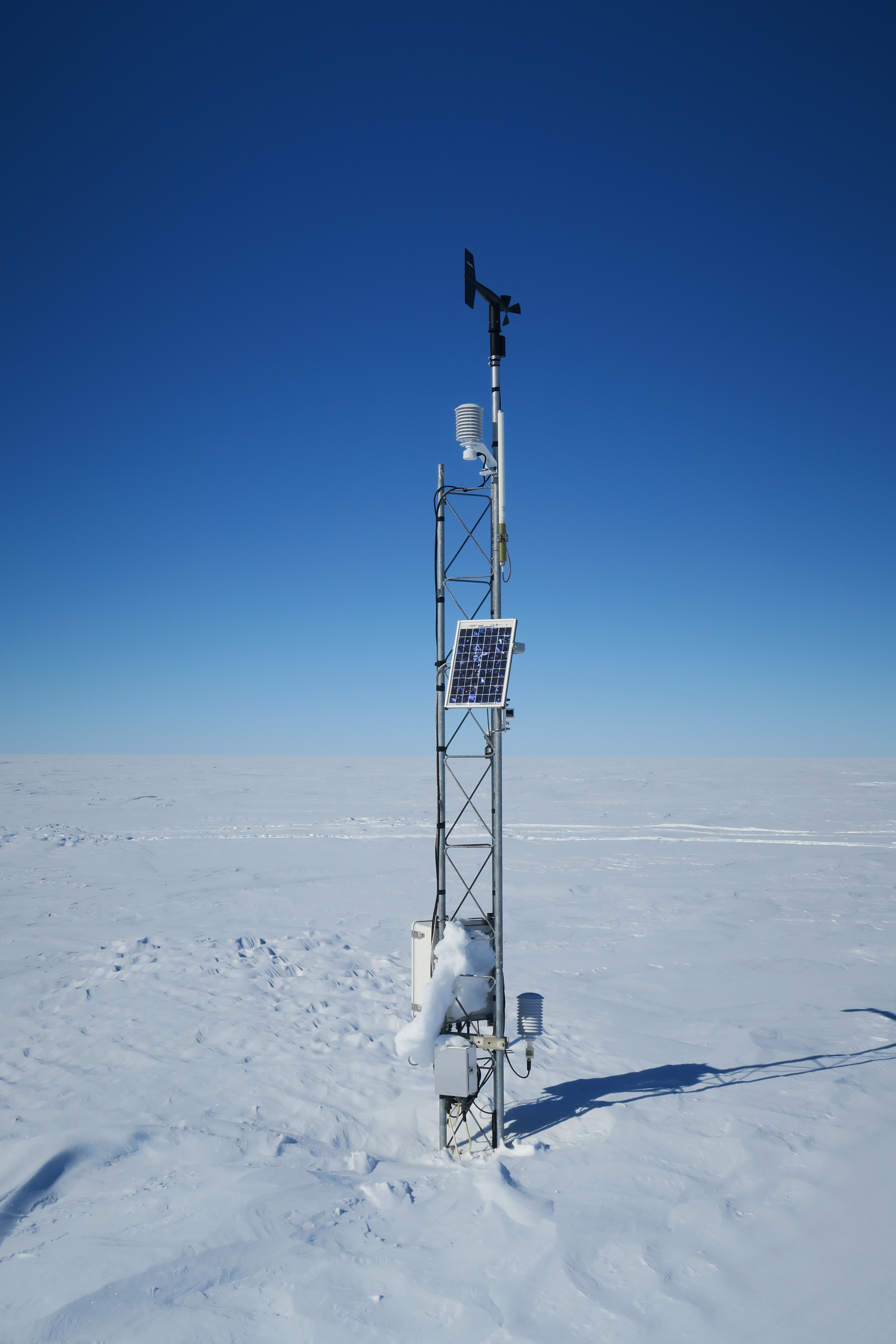 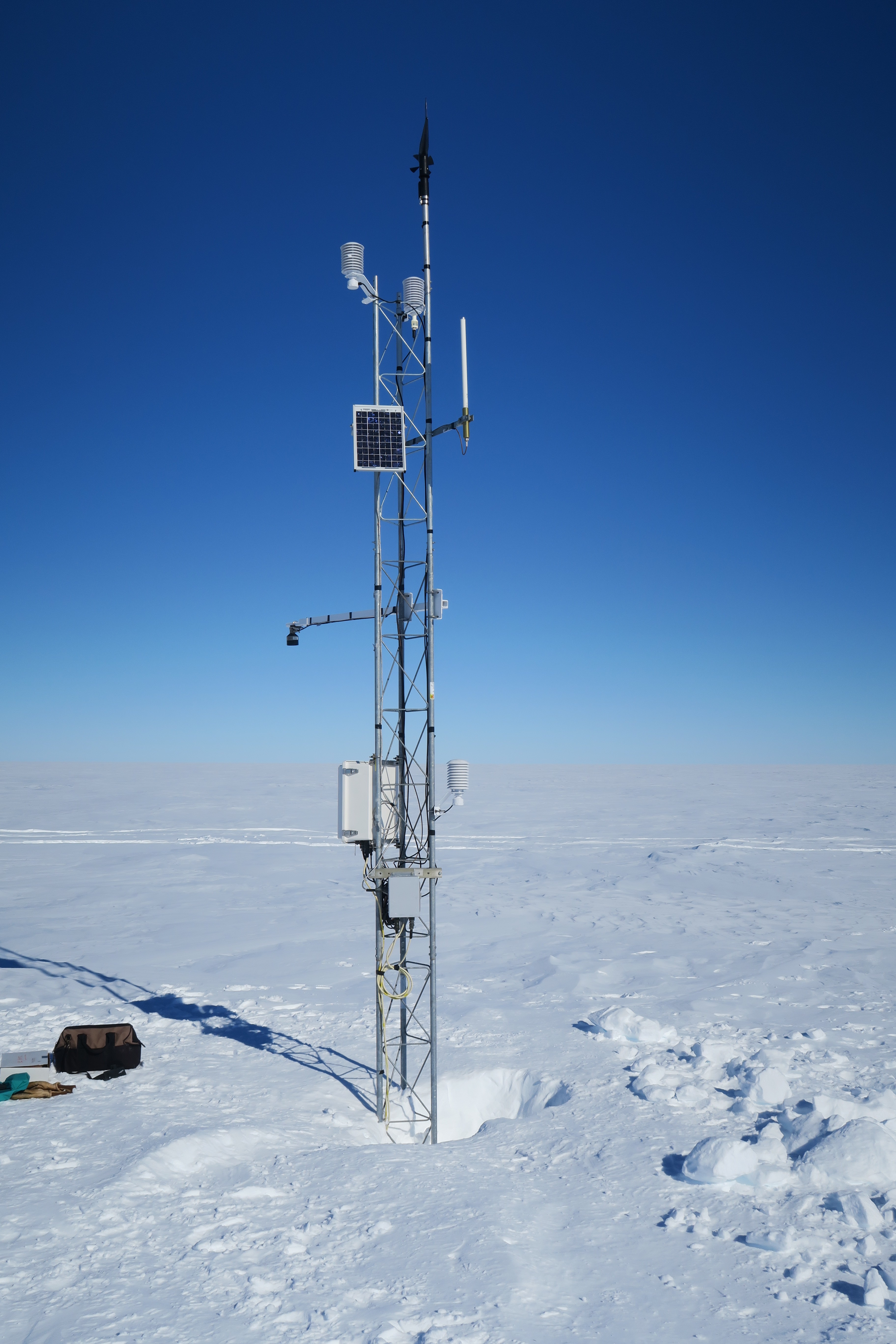 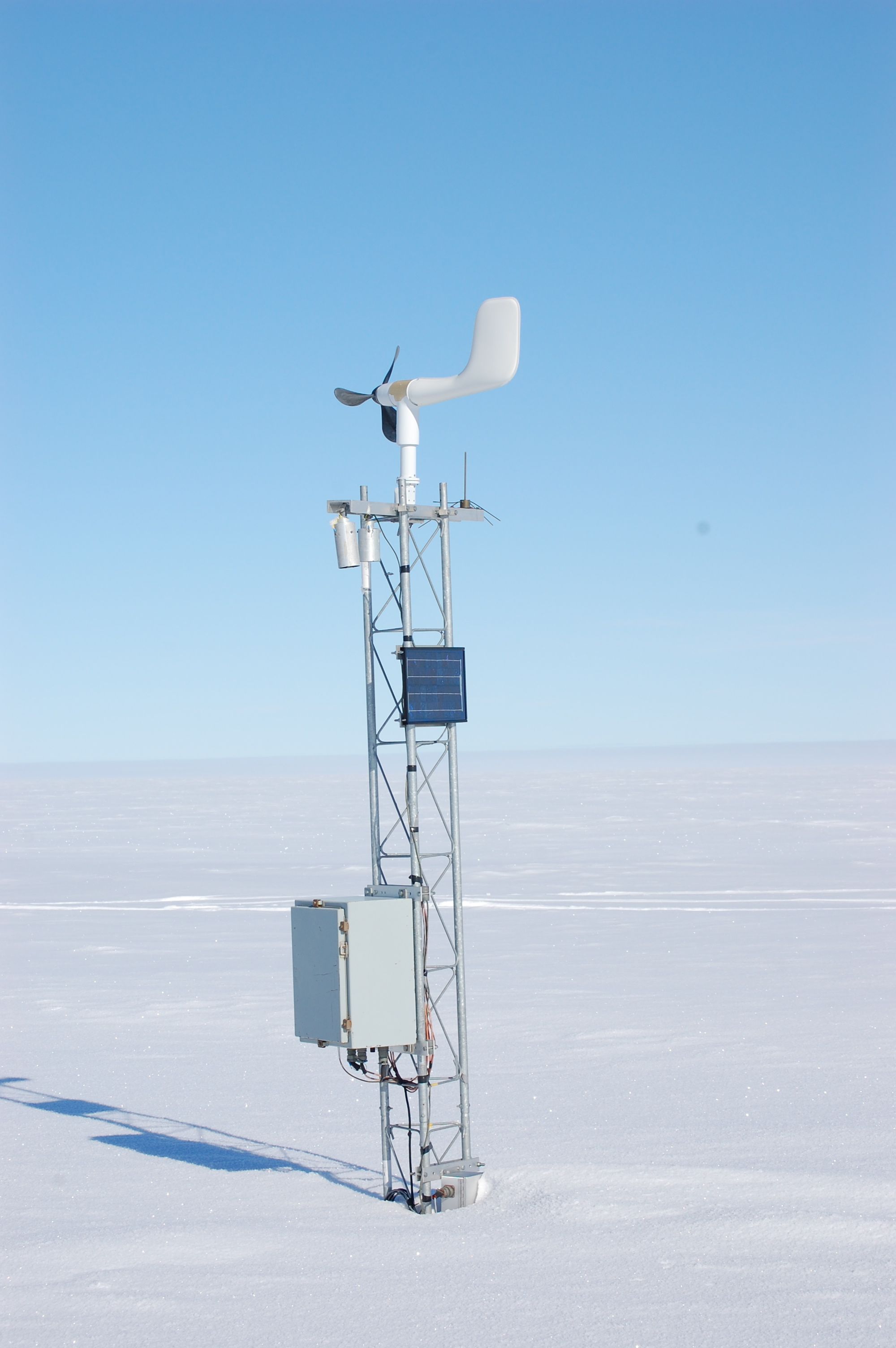 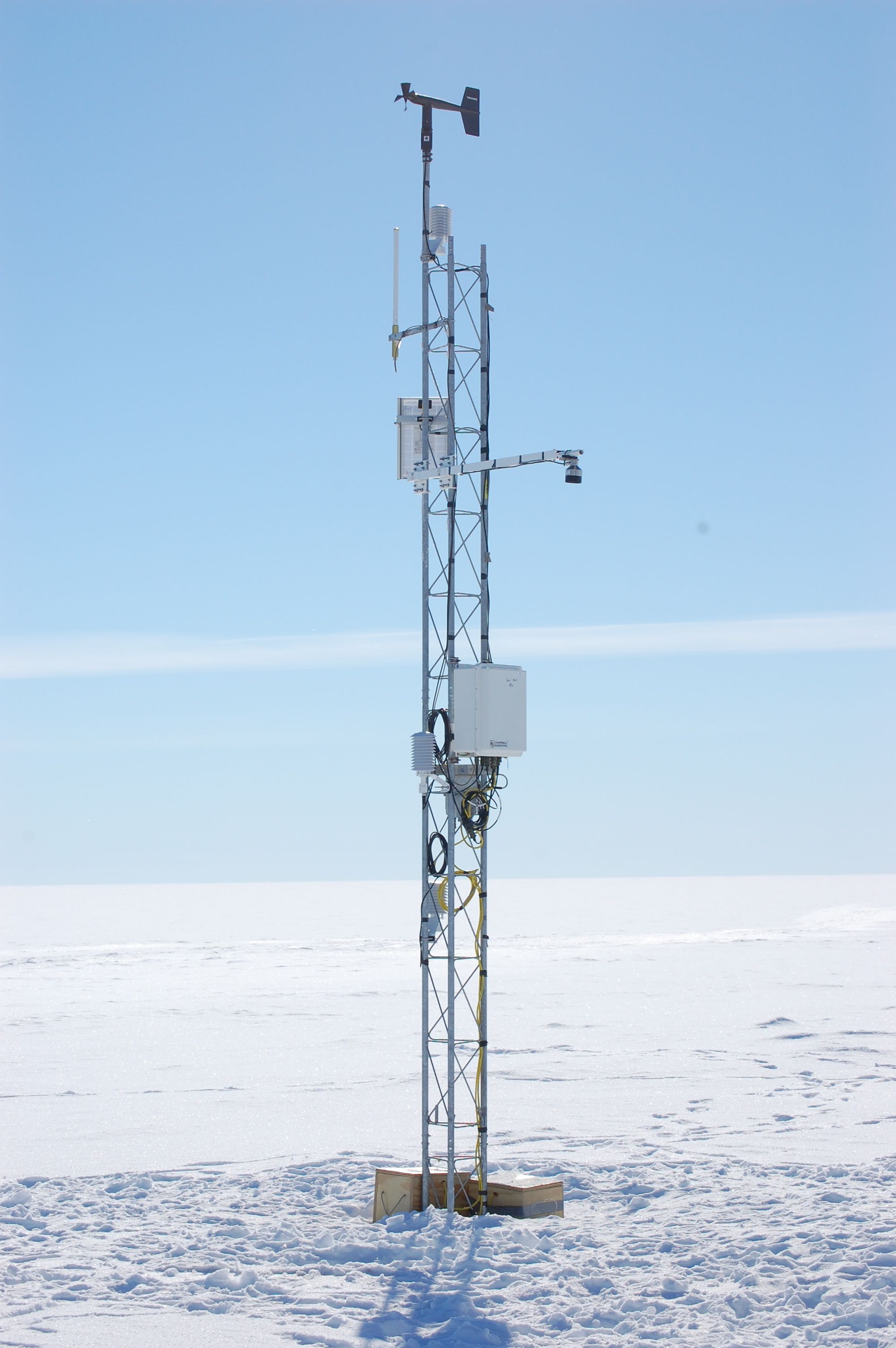 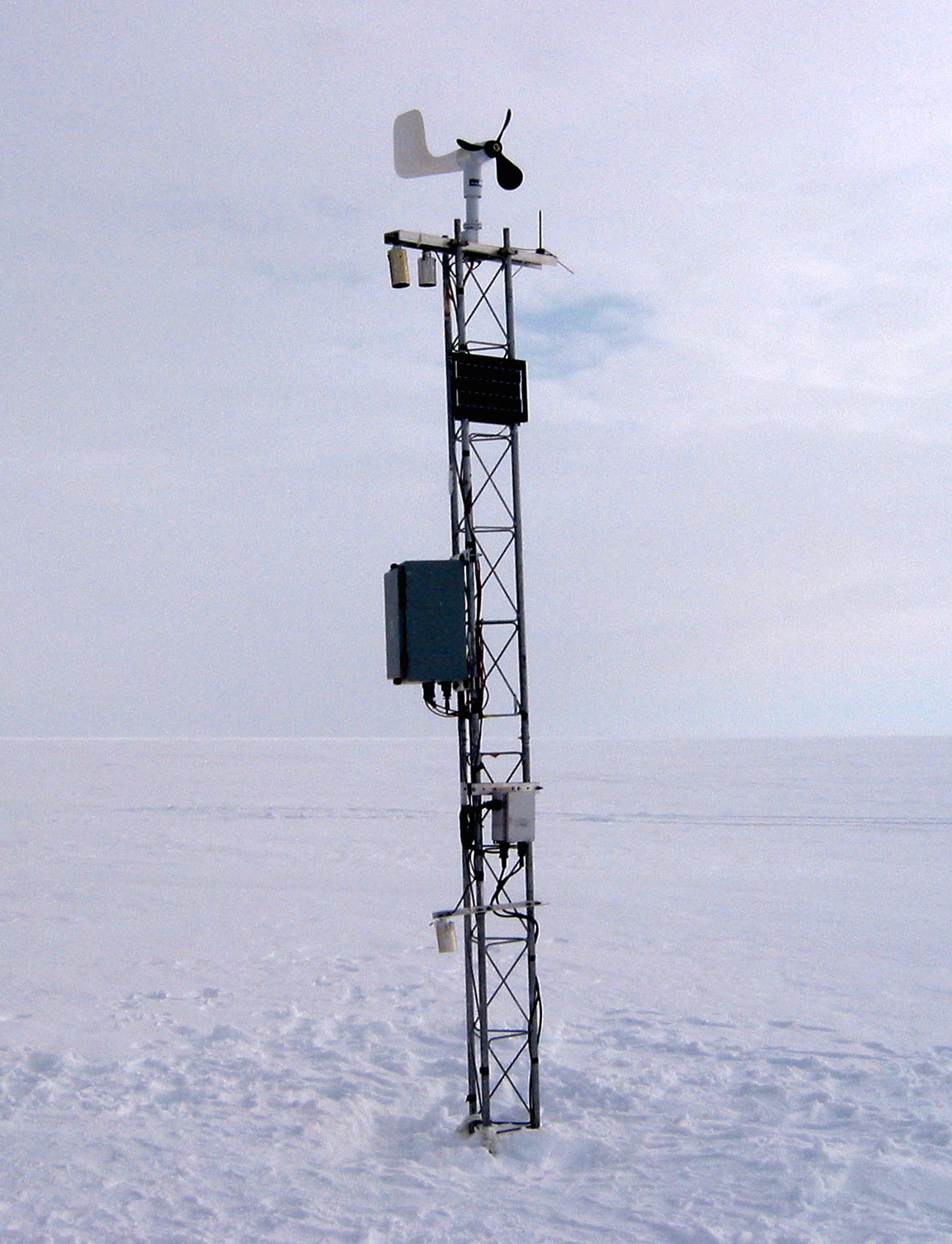 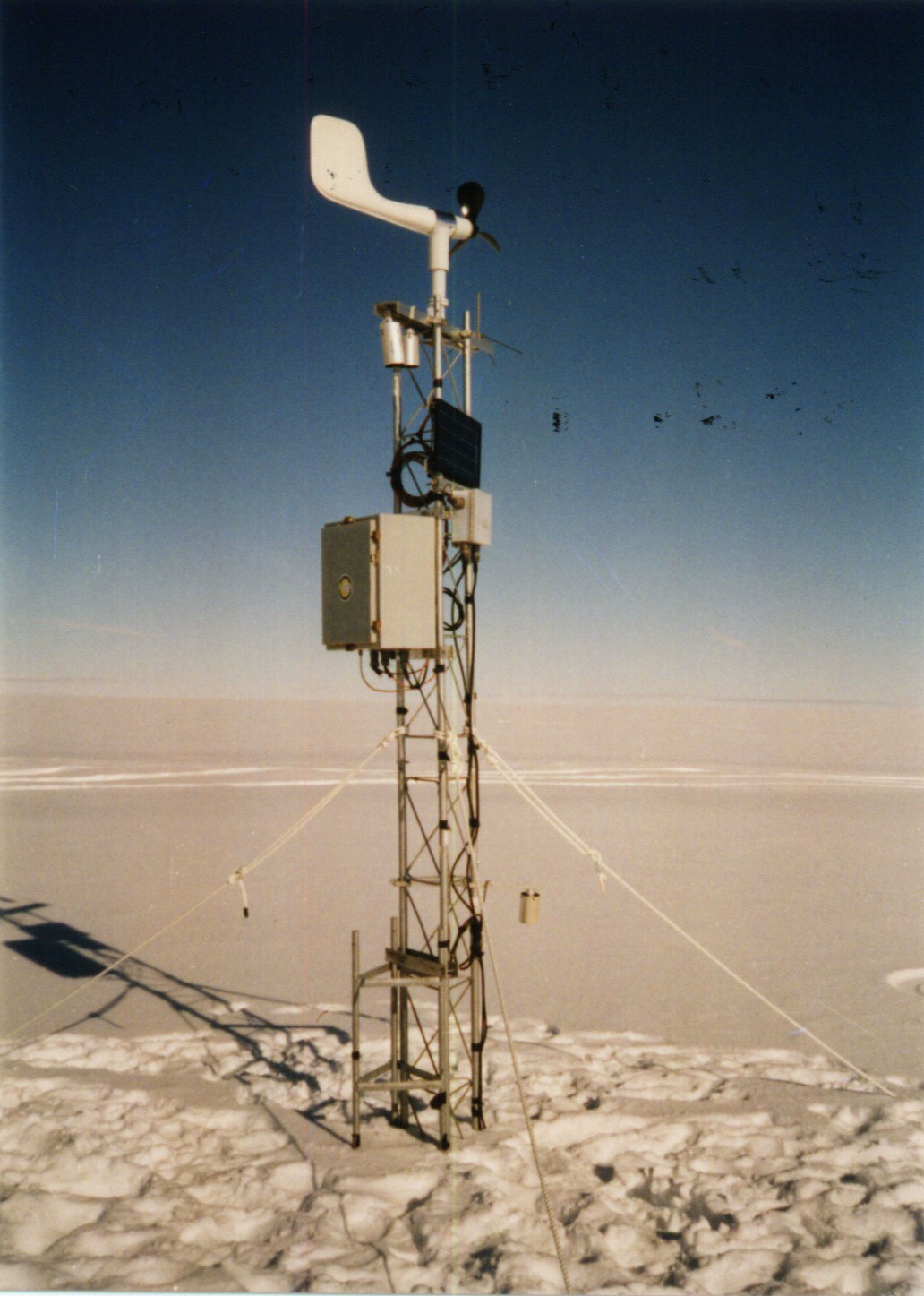 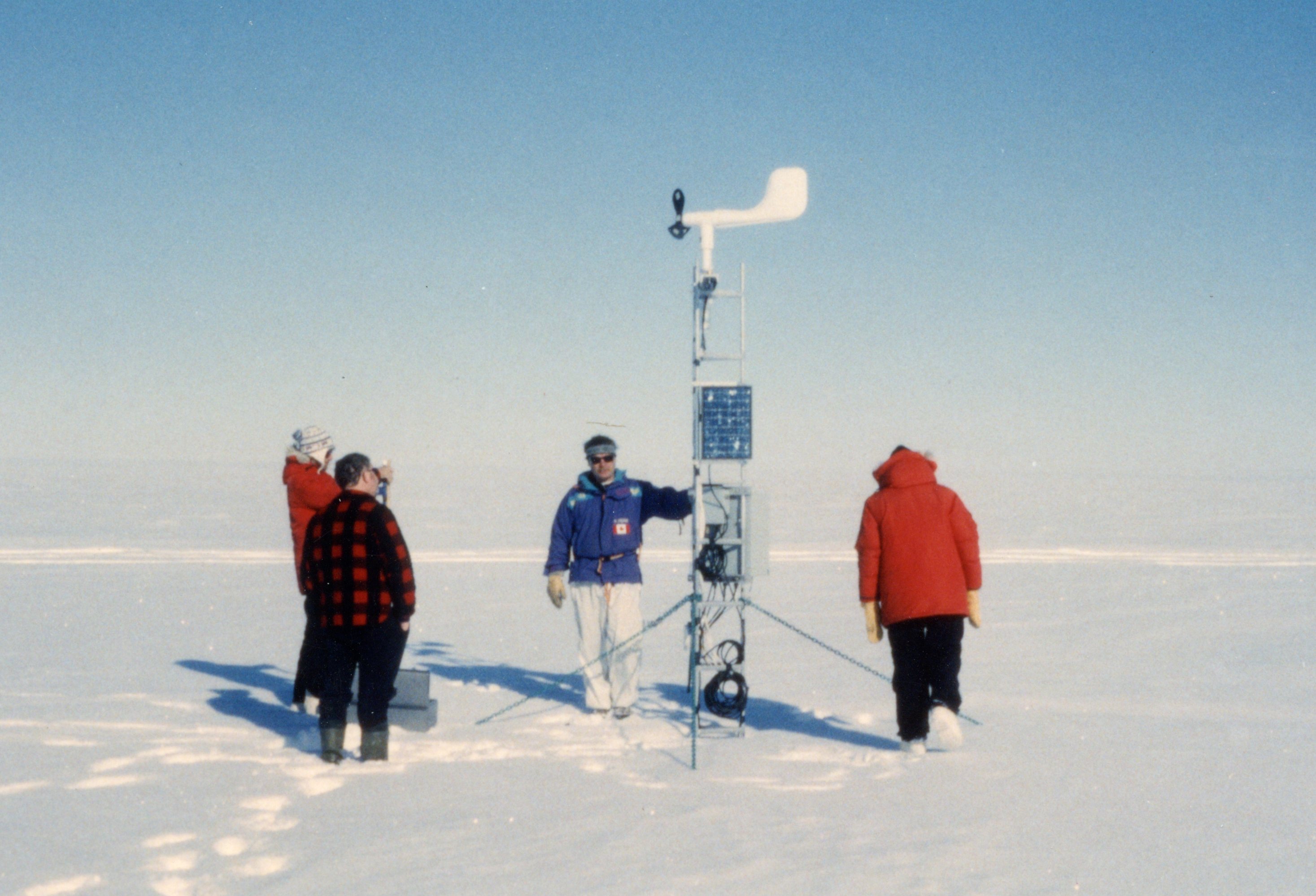 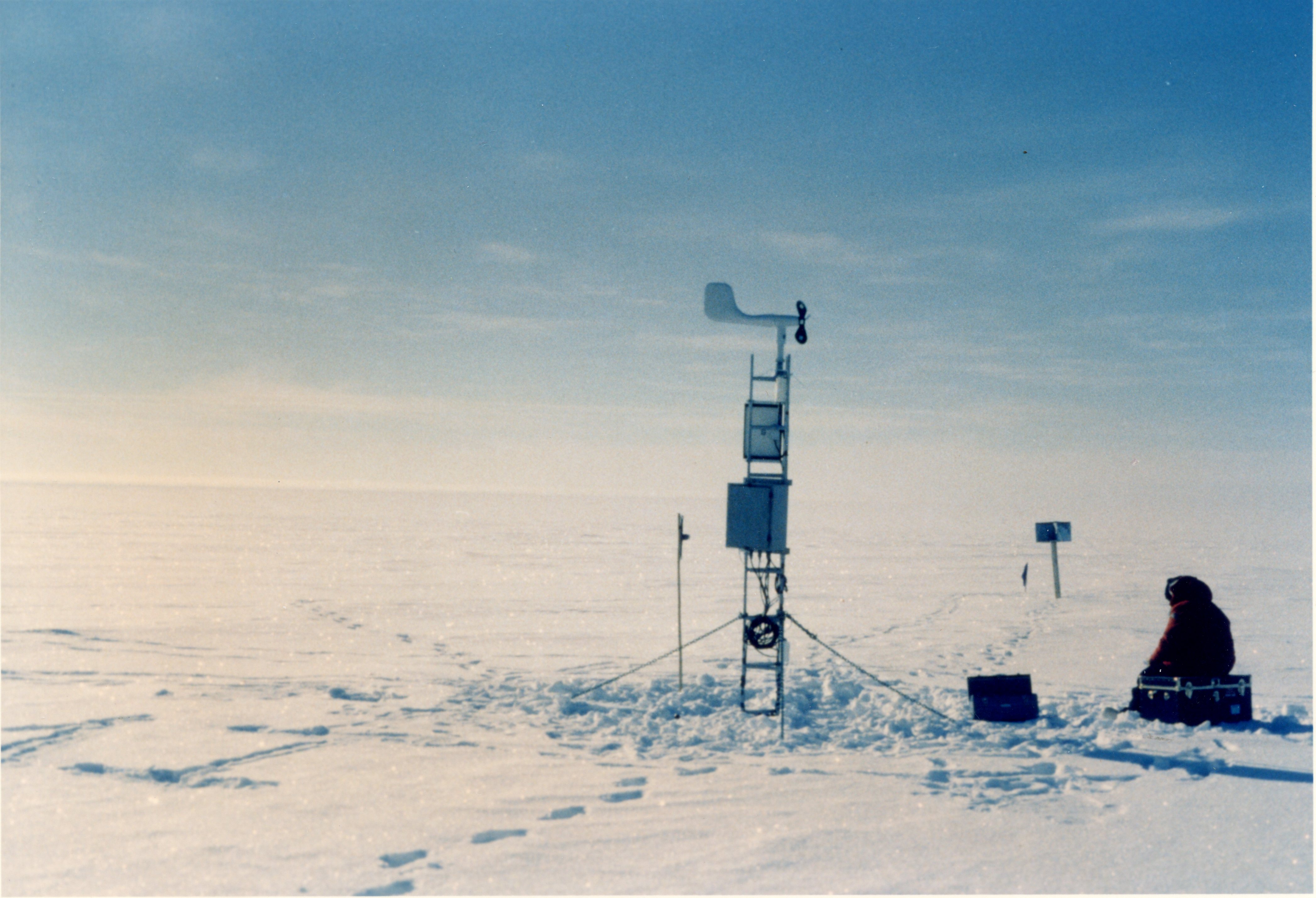 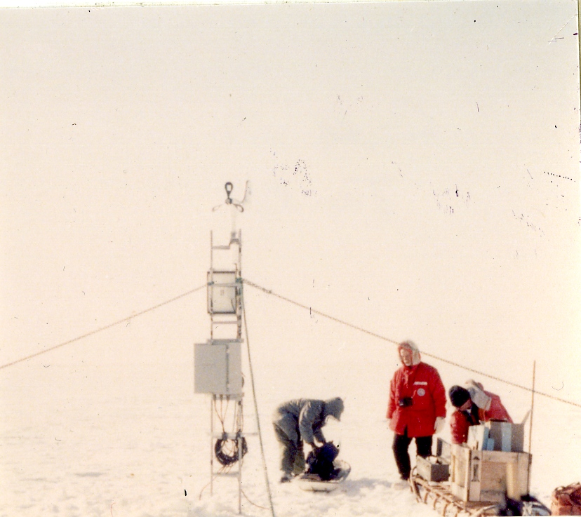 | |||||||||||||||||||||