Automatic Weather Stations - 2012
| Regions:Years: |
Ocean Islands Stations (2012): |
|||||||||||||||||||||
Whitlock AWSFormer Name: Franklin IslandOwner: Site Code: WTL Initial Start Date: 1982-01-01 Info from Service Visit: 2011-01-28 Latitude: -76.142 S Longitude: 168.394 E Elevation: 262 meters WMO ID: 89865 AWS Model: AWS2B AWS2B ARGOS ID: 8988 2012 Archive (FTP): 3-hourly | 10-minute Station Records:
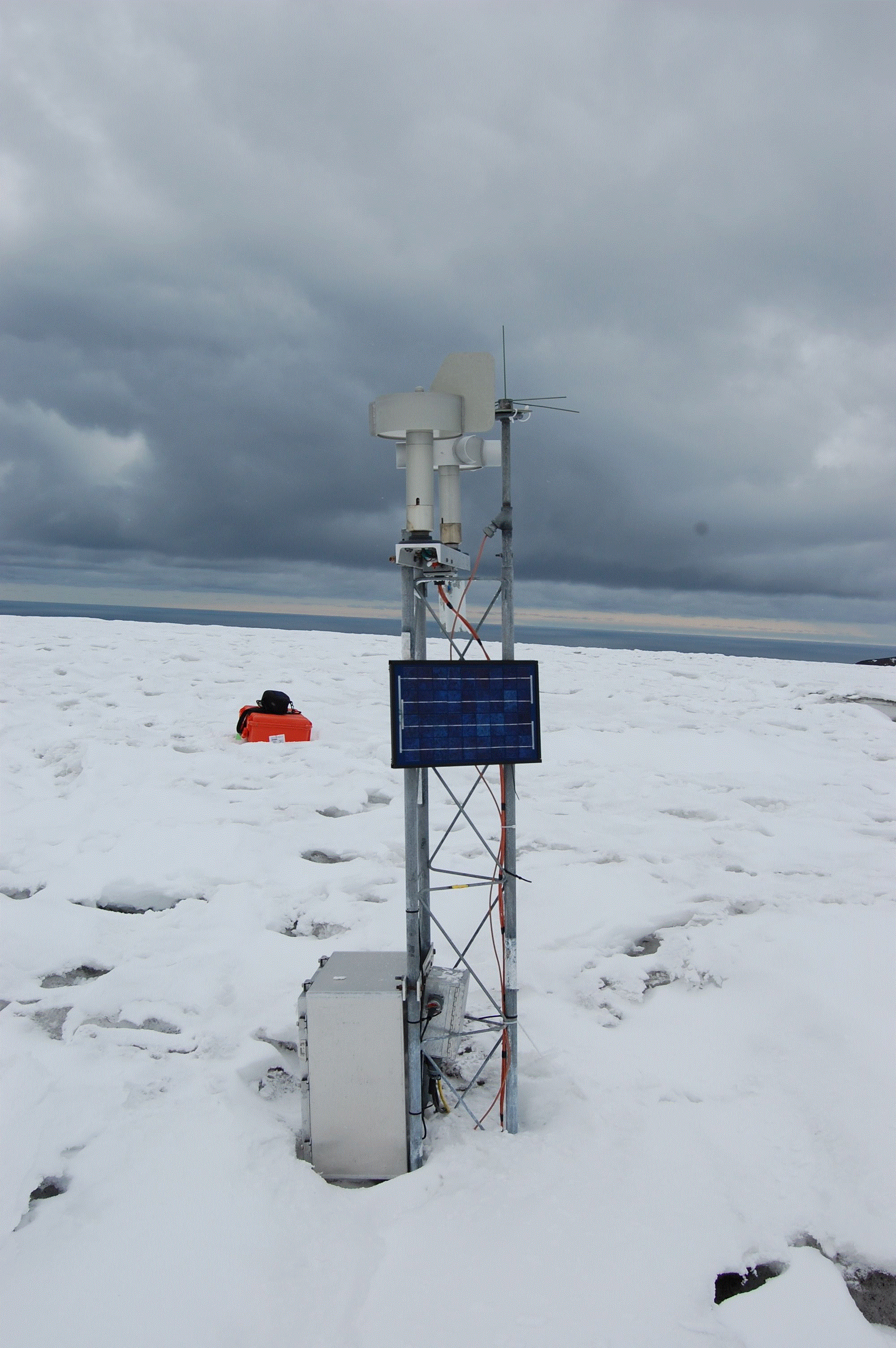
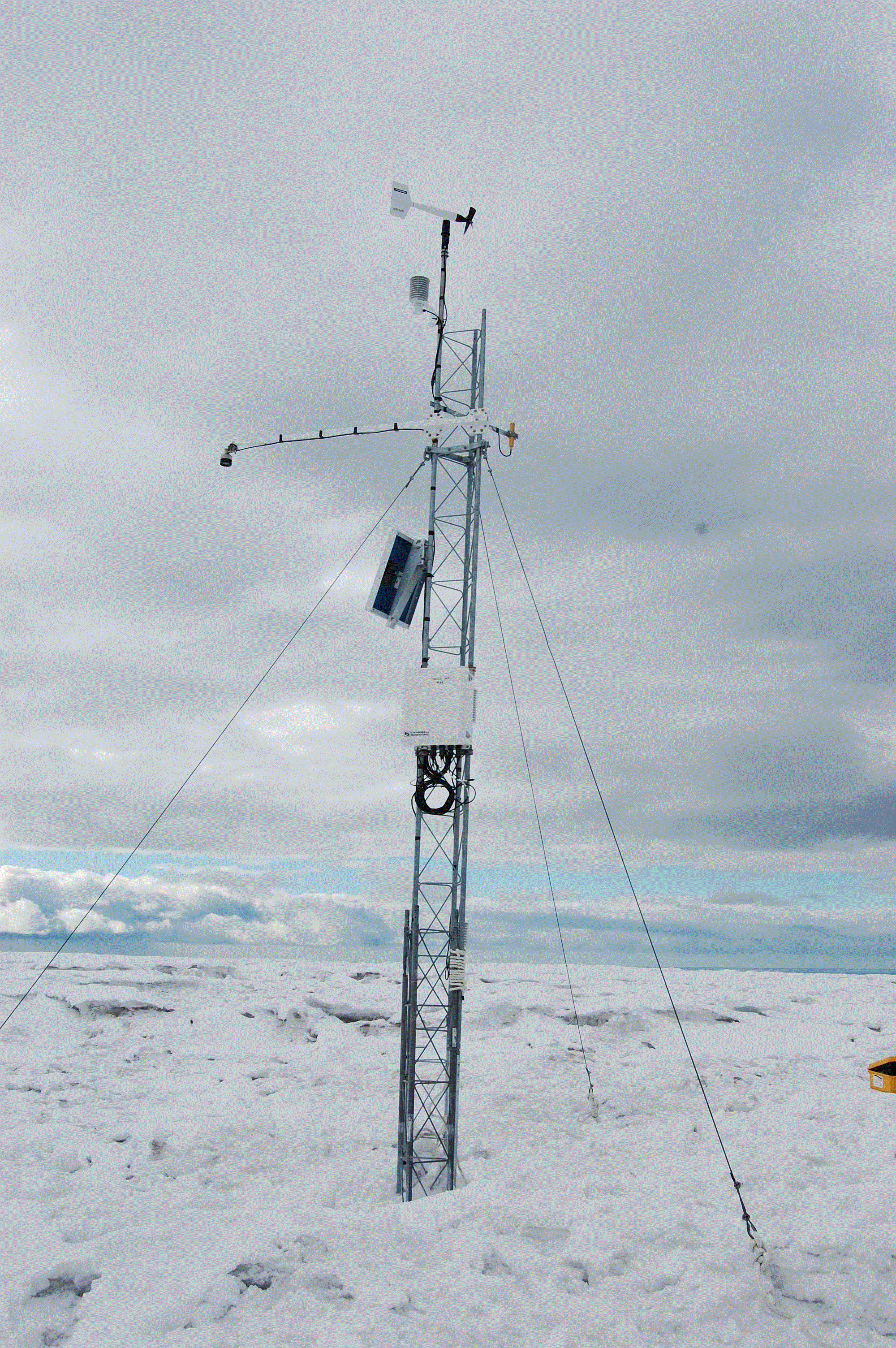
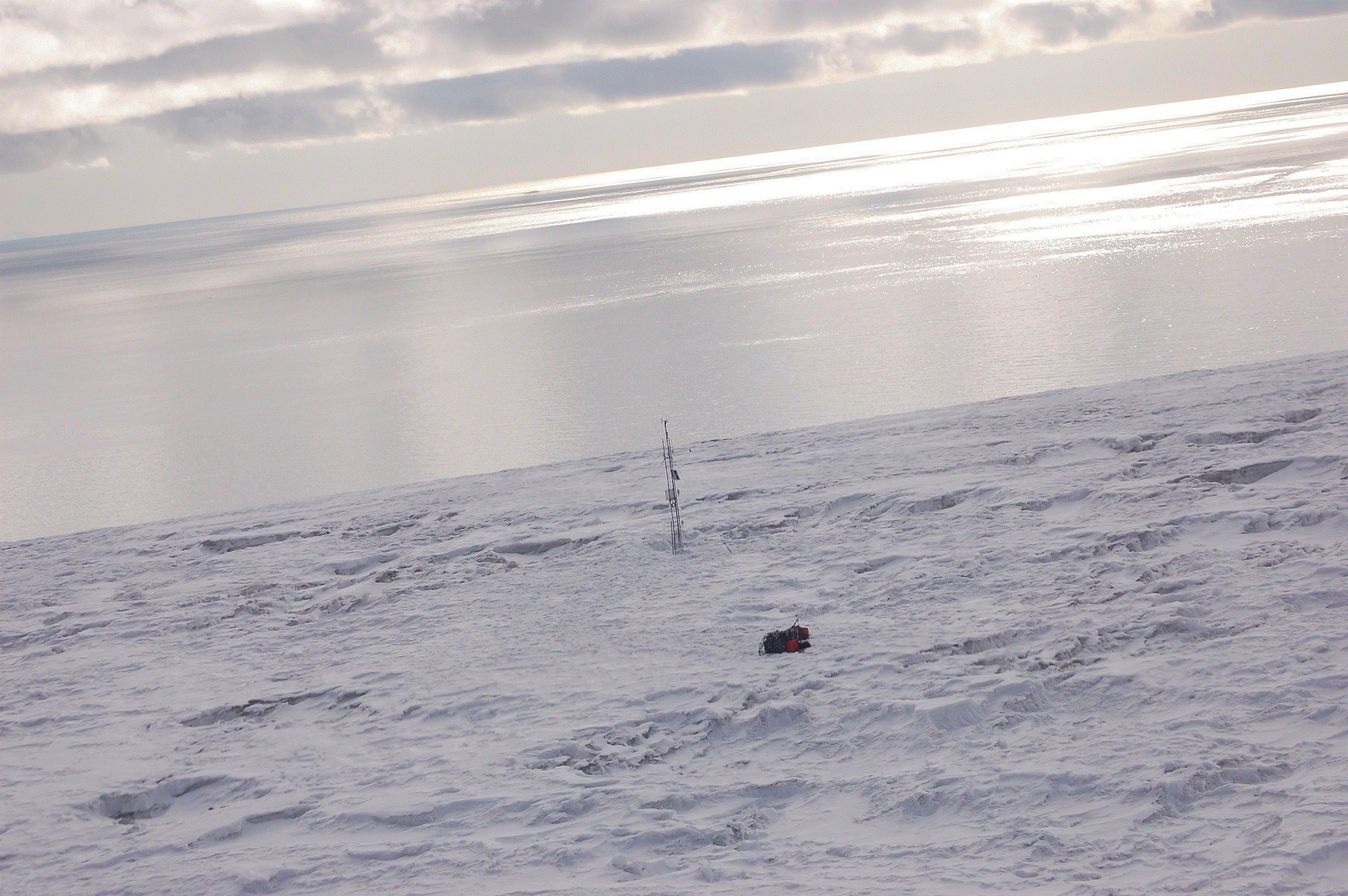
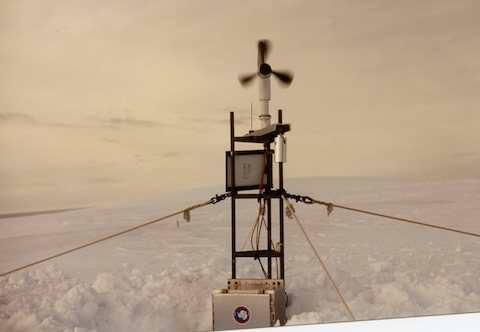
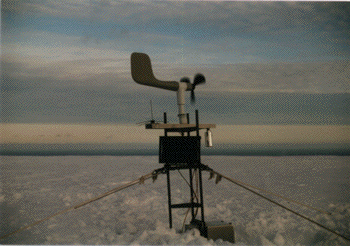
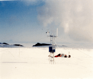
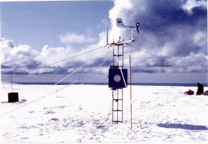
Notes: Station was named for Lt. Whitlock of the United States Navy who served in Antarctica.Full station replacement on 1-28-11 (approximate ground time 3.5 hours) Team: Jonathan Thom and Melissa Nigro Pilot: Sven UNAVCO GPS was set out. Approximate times were 11:45-3:15. It was about a 5 minute helo flight from the Oden. Sven dropped the passengers off first and then sling loaded the equipment. A portion of the electronics box was buried in snow. We removed all of the instruments from the station. The original heights were as follows: Boom: 57" Electronics Box: -12" Solar panel: 39.5" The old station had a 5' new style tower section roped to the old style tower sections. These tower sections were leaning and we could not straighten them out. Therefore, we installed a 5' and two 7' tower sections next to the existing site. The new tower sections are on a wooden base and were guided. The new tower has also been tied to the old tower using rope. Three 100 amp hour batteries were installed at the site. These were wired up in a medium sized harding case. The charge controller is wired inside the harding case and therefore this station does not have a junction box. A new set of instruments were installed on the tower. Final instrument heights: Aerovane: 219" Upper temp: 204" ADG: 172" Electronics box: 92" Lower temp: 53" RH: 102" | ||||||||||||||||||||||


