Automatic Weather Stations - 2015
| Regions:Years: |
Ross Island Vicinity Stations (2015):
|
|||||||||||||||||||||
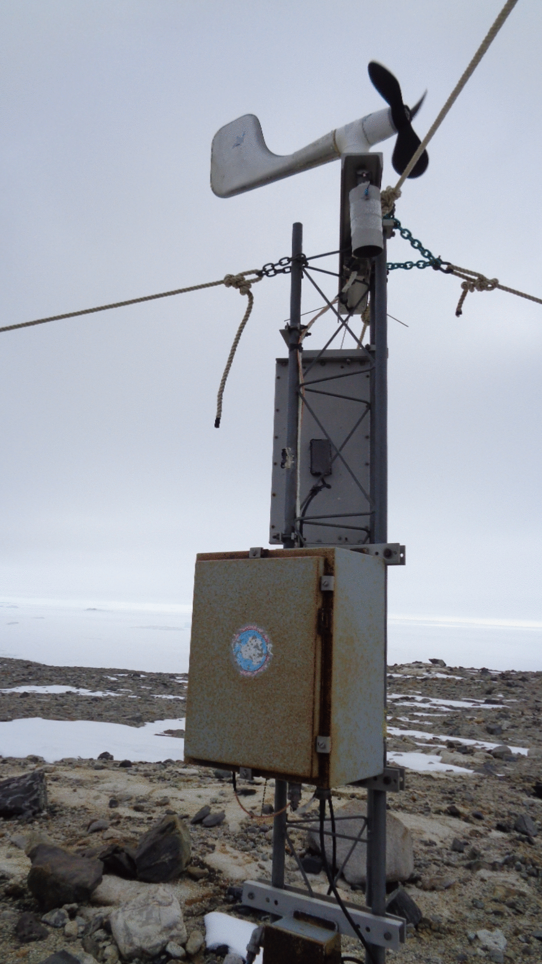
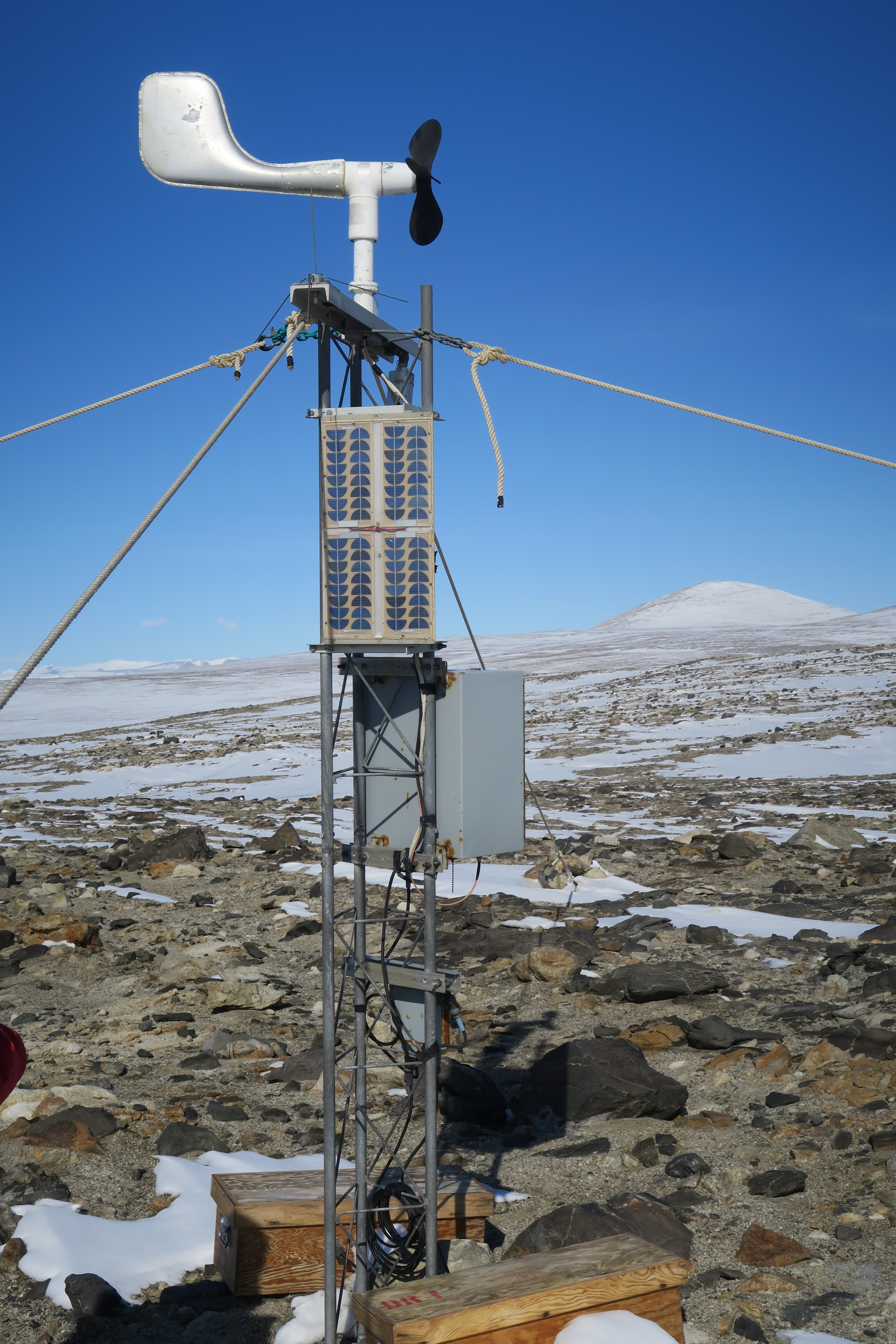
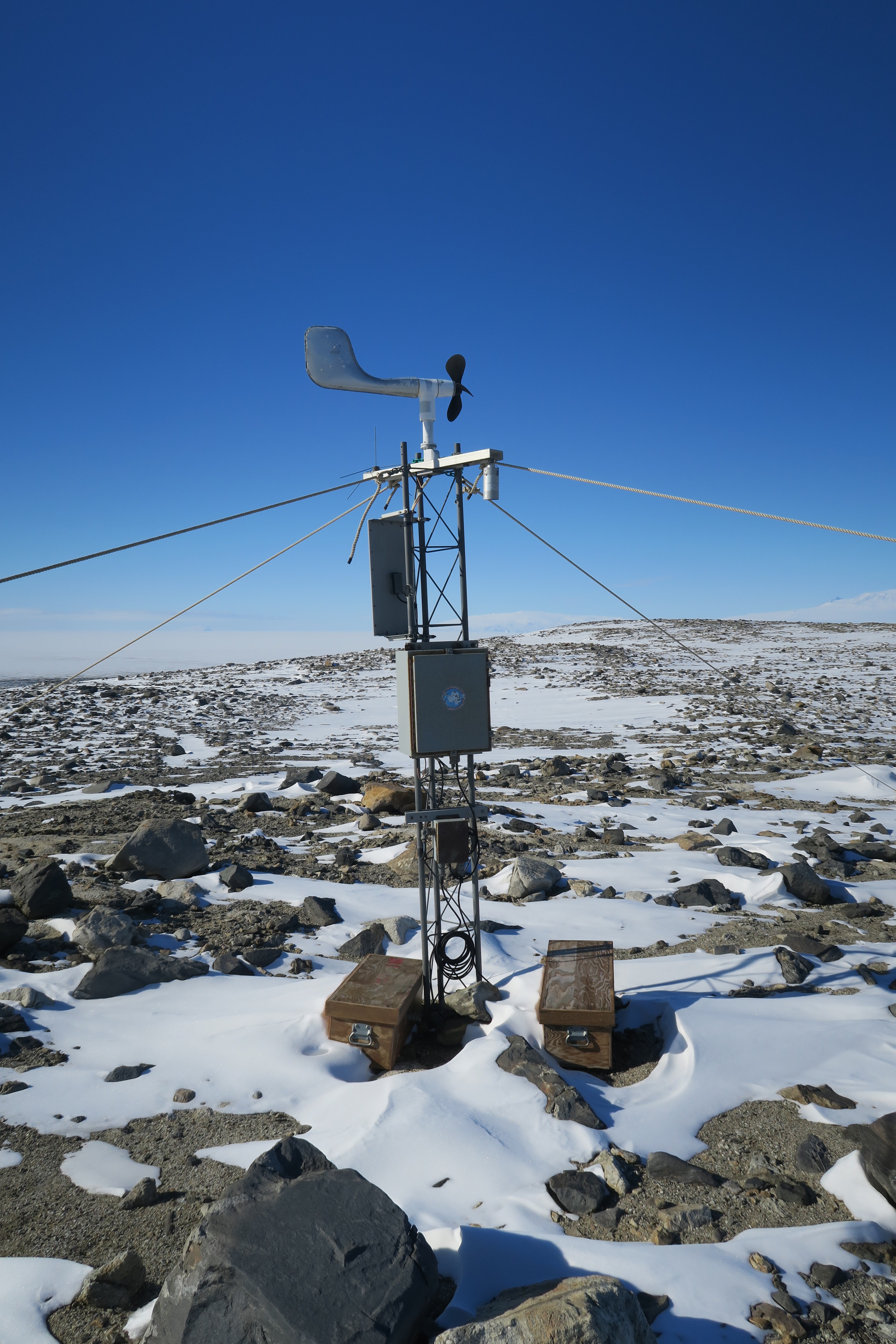
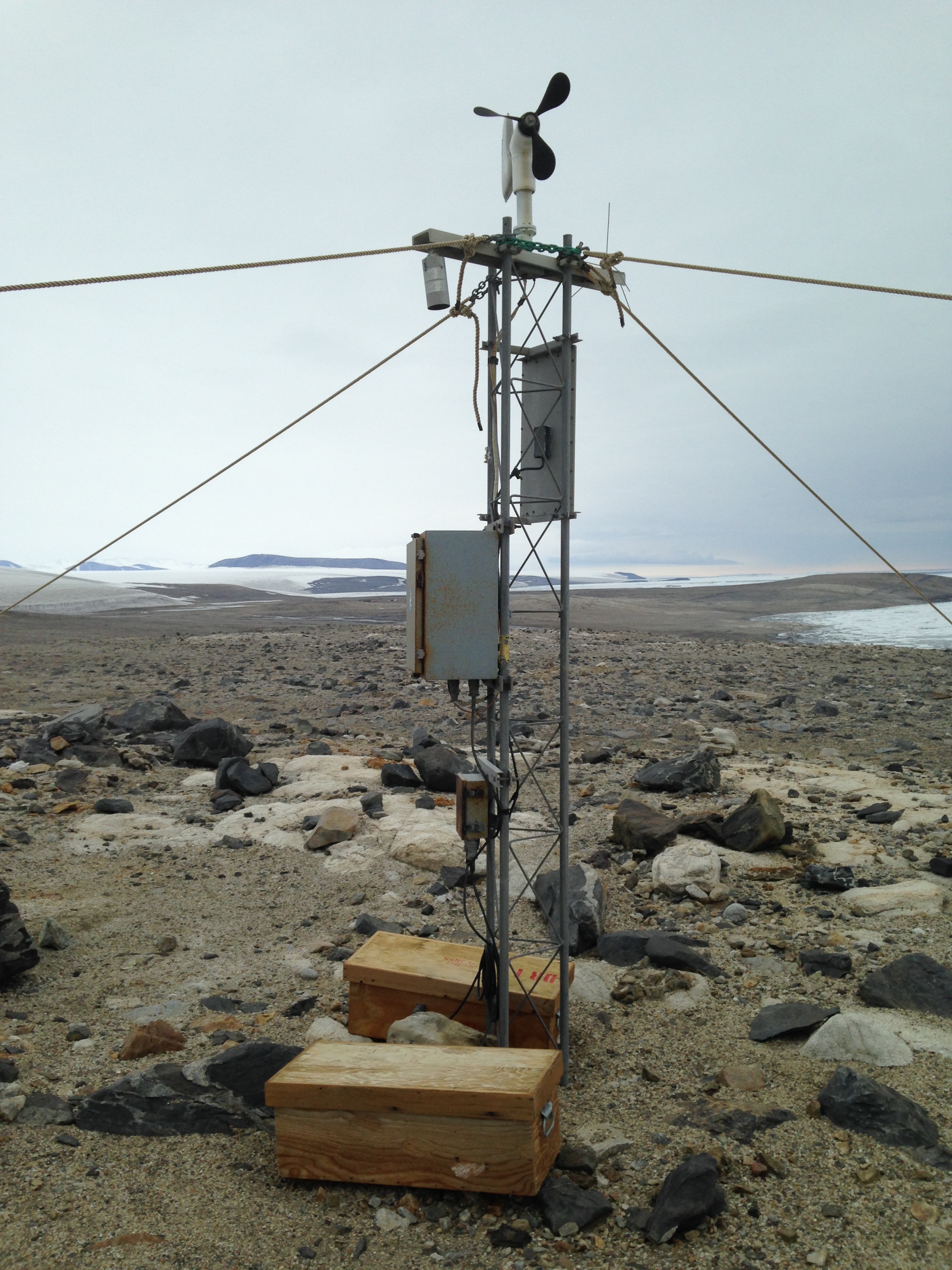
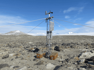
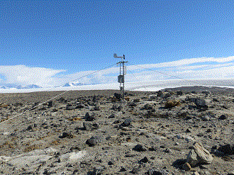
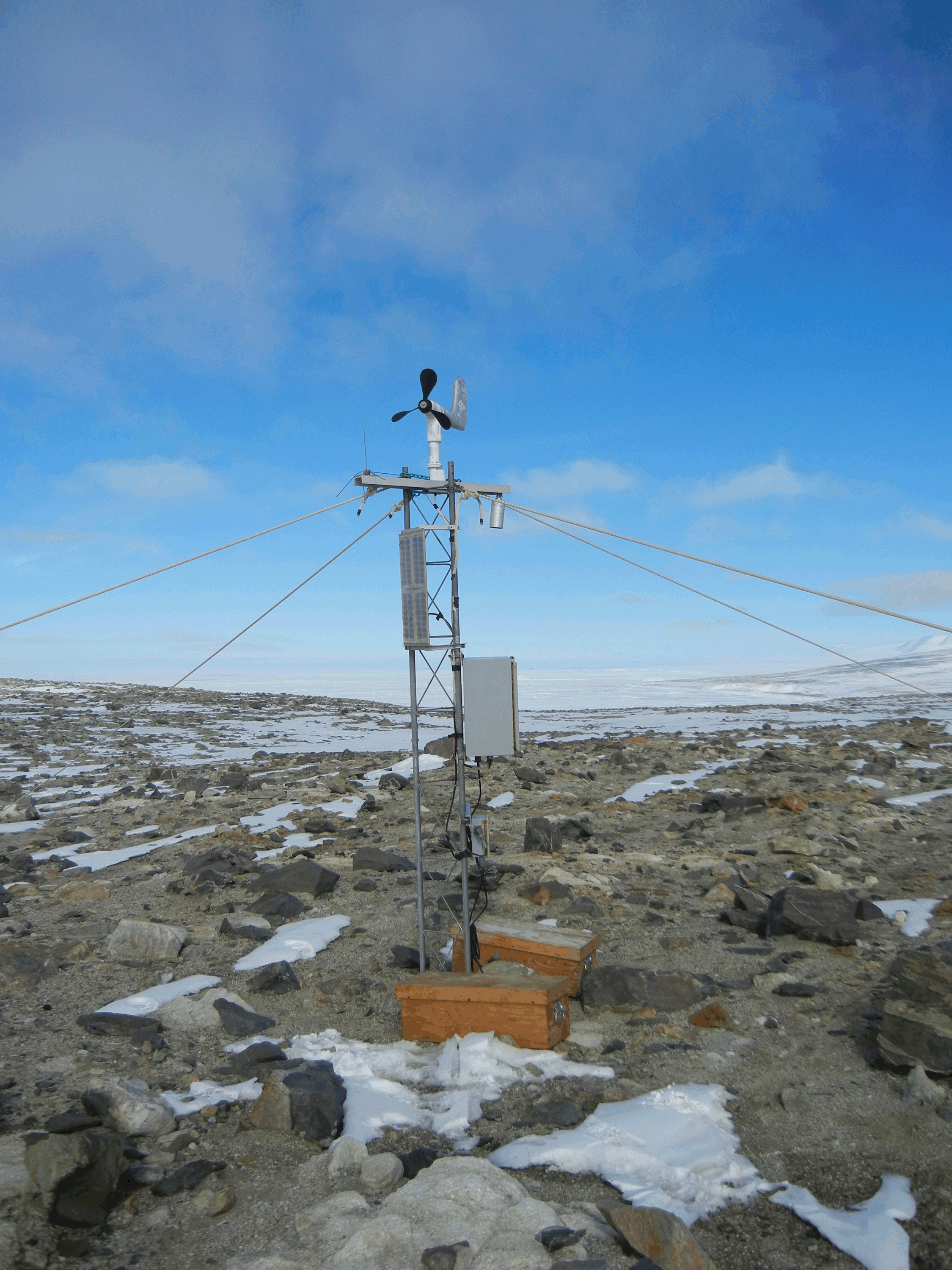
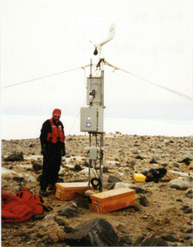
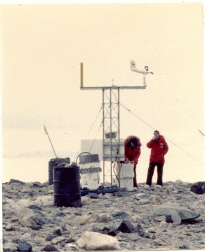
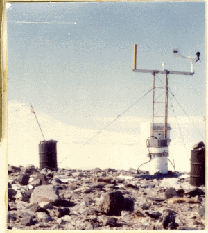
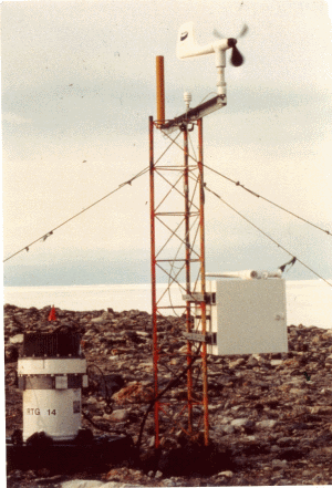
Marble Point AWSOwner:Site Code: MPT Initial Start Date: 1980-02-05 Info from Service Visit: 2015-01-27 Latitude: -77.439 S Longitude: 163.754 E Elevation: 108 meters WMO ID: 89866 AWS Model: AWS2B ARGOS ID: 2015 Archive (FTP): 3-hourly | 10-minute Station Records:
Notes: Station was named for the geographic location on which the station resides. | ||||||||||||||||||||||


