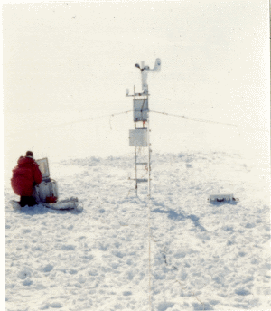
UW Automatic Weather Stations - 1991
| Regions:Years: |
Ross Ice Shelf Stations (1991): |
|||||||||||||||||||||
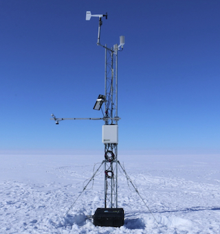
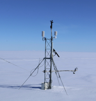
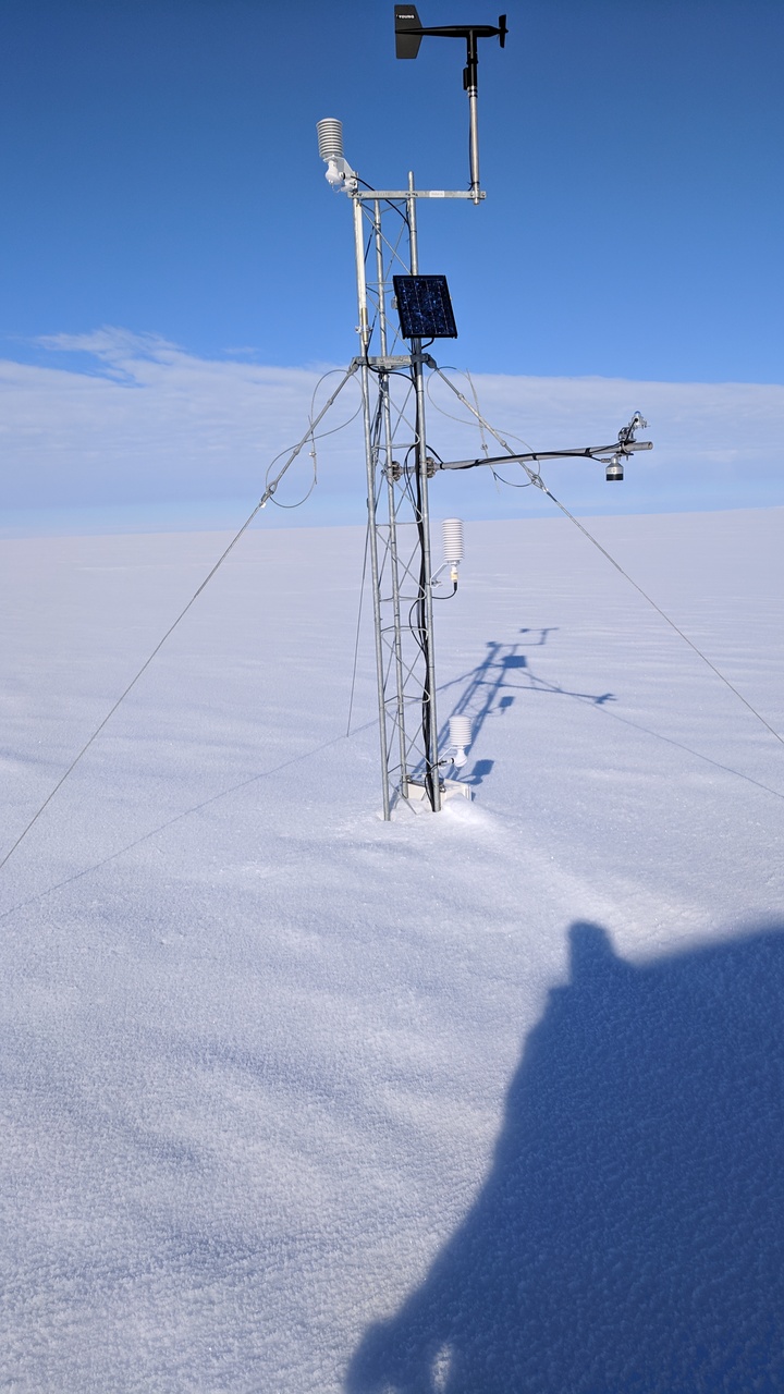
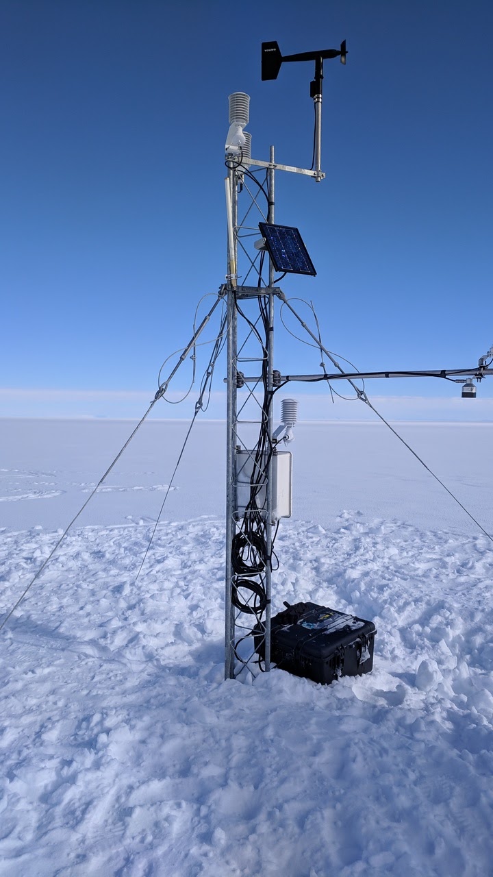
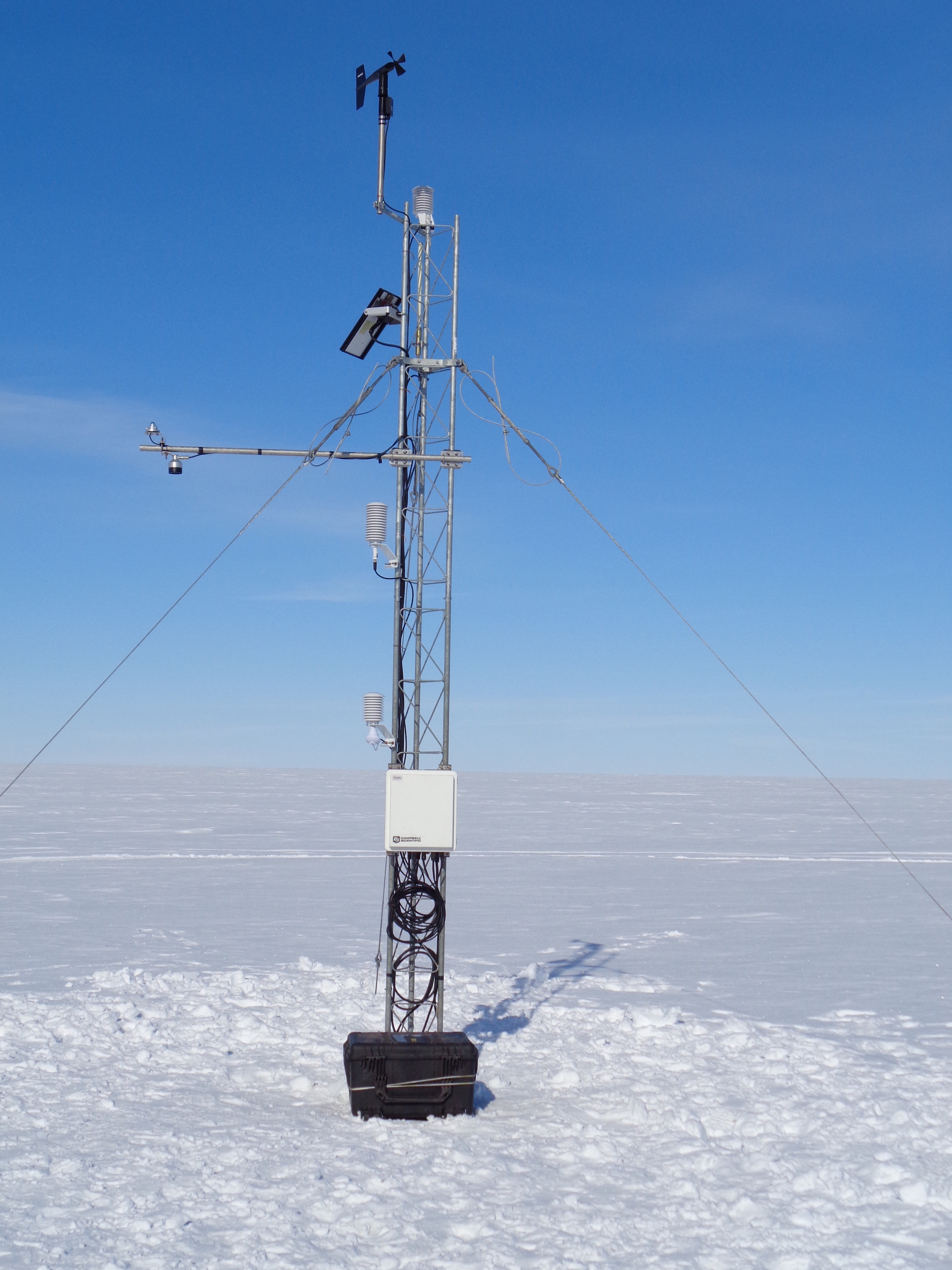
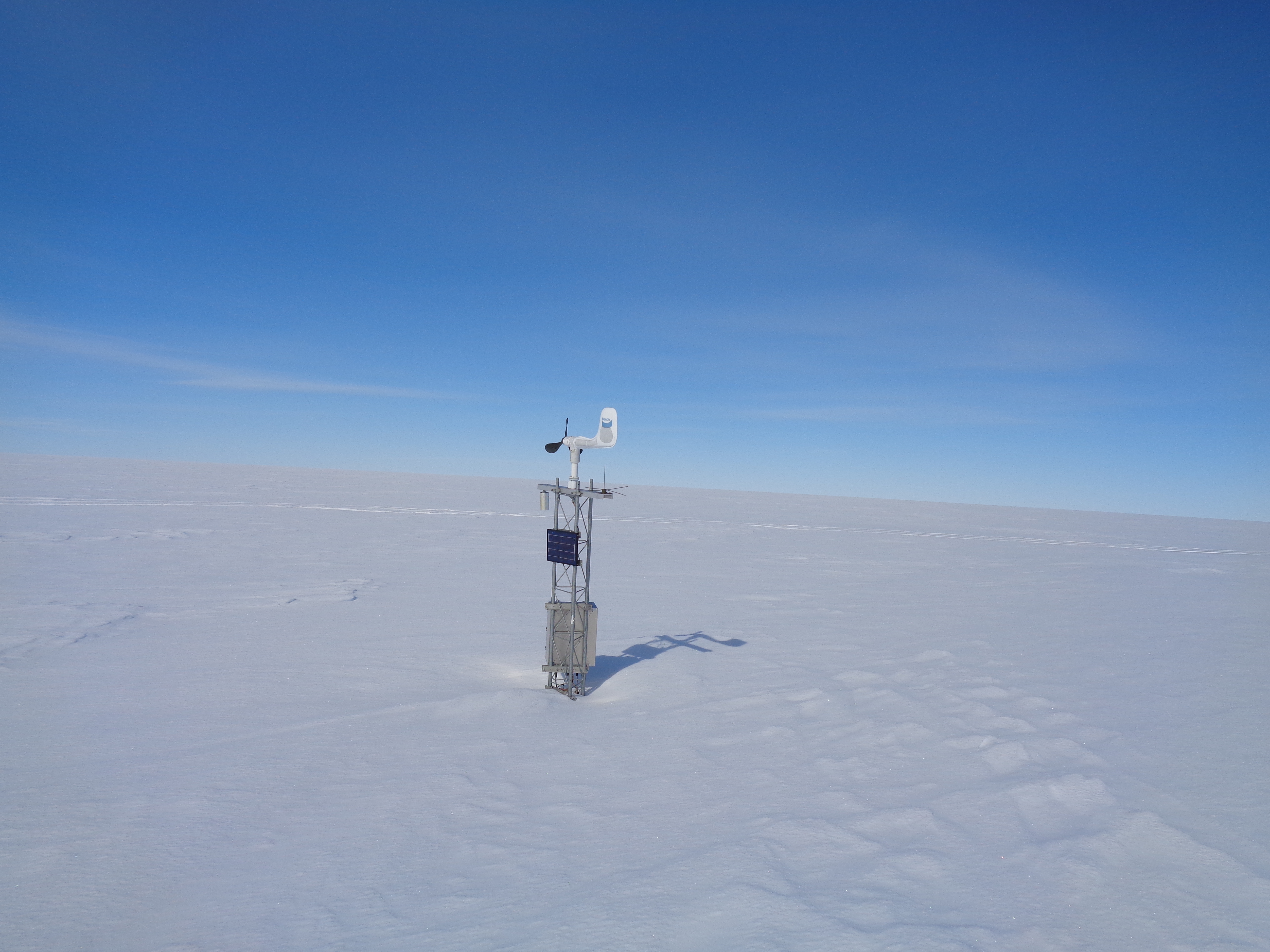
Marilyn AWSFormer Name: Byrd GlacierOwner: Site Code: MLN Initial Start Date: 1984-01-16 Info from Service Visit: 1991-01-18 Latitude: -79.98 S Longitude: 165.03 E Elevation: 75 meters WMO ID: 89869 AWS Model: AWS2B ARGOS ID: 8931 1991 Archive (FTP): 3-hourly | 10-minute Station Records:
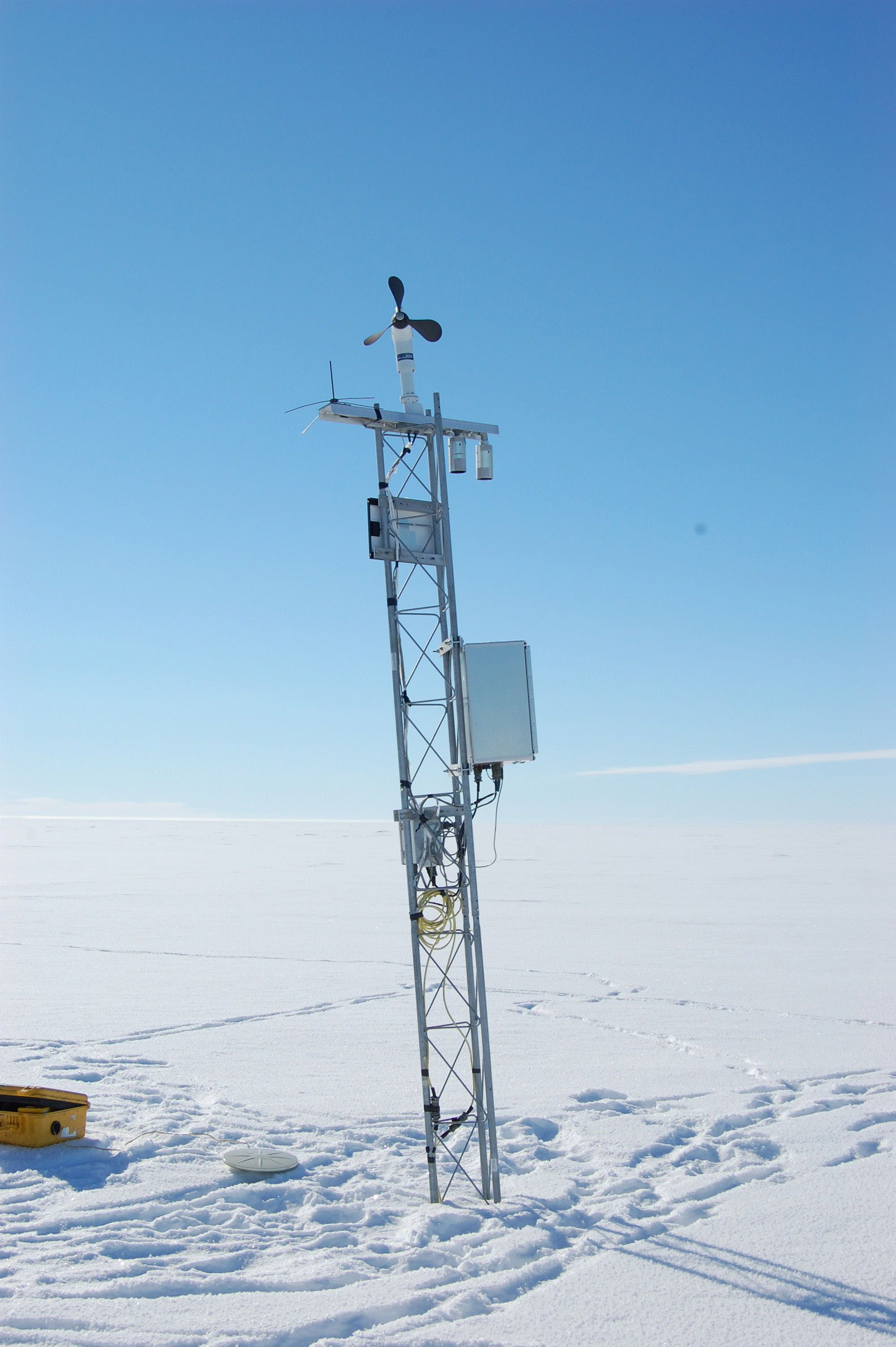
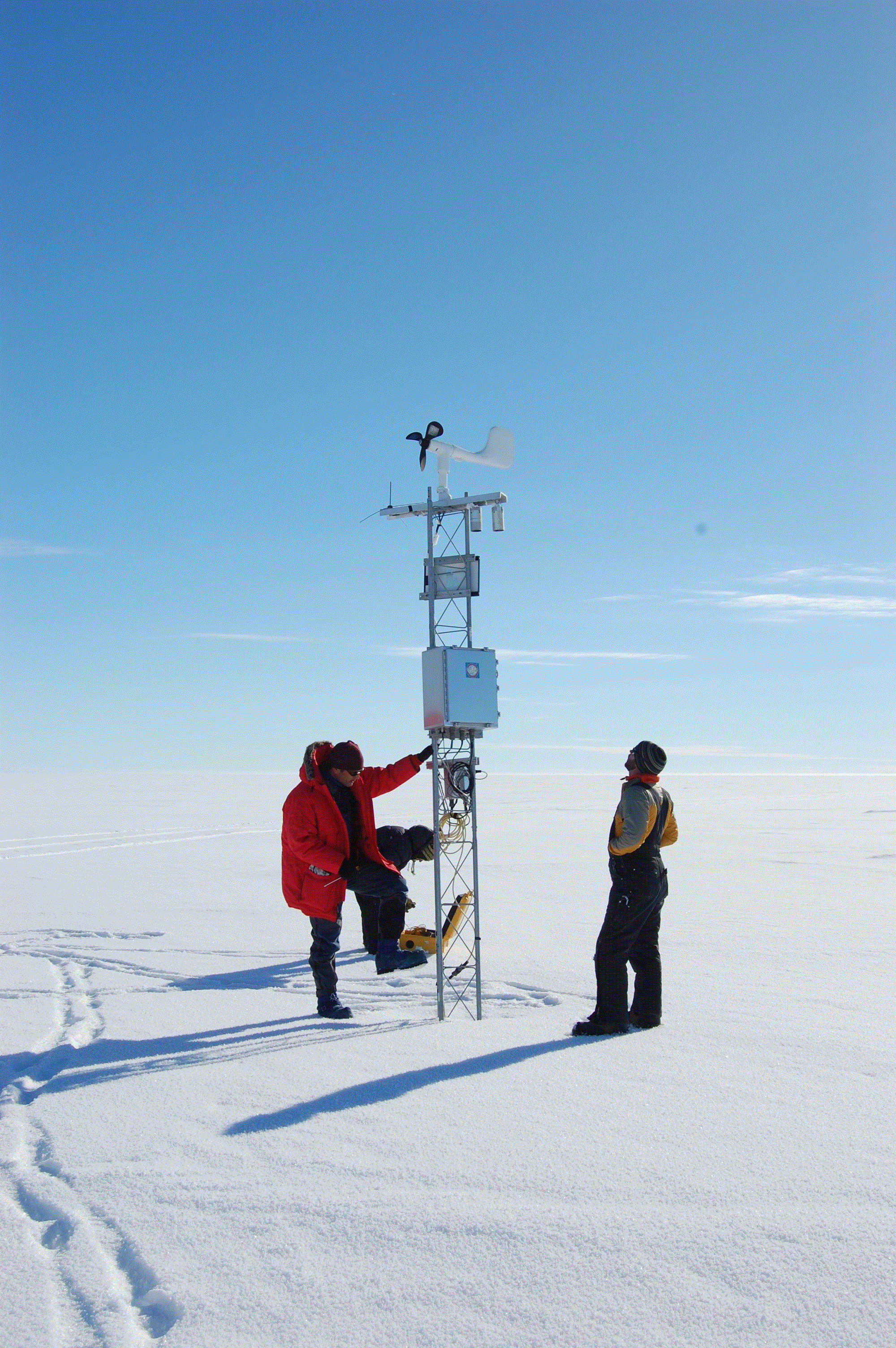
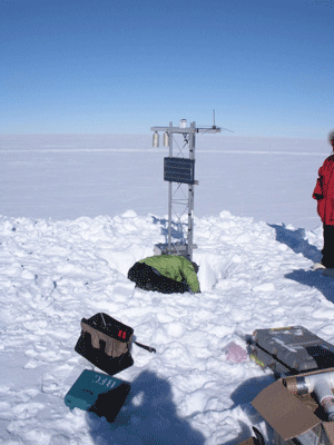
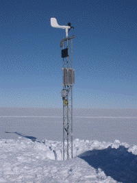
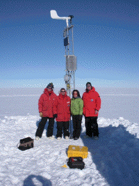
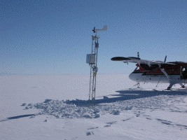
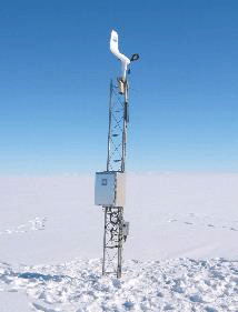
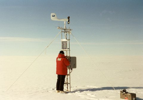
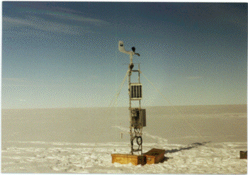
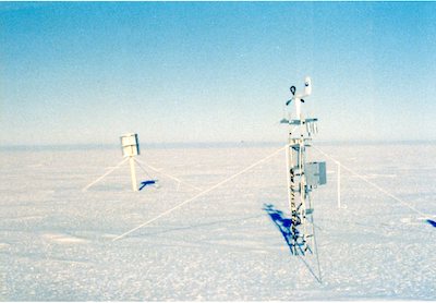
Notes: Marilyn was formerly known as Byrd Glacier. Aerovane (Belfort) replacement on 2-3-11 (approximate ground time 25 minutes) Team: Jonathan and Melissa UNAVCO: Marianne Rigger: Erin and Dan Pilots: Brian and Jason UNAVCO GPS was set out. Approximate times were 11:40-12:00. We flew by the Tall Tower site on the way out of McMurdo (about 35 minutes flight). The site was covered by fog. Erin was able to see the very top of the tower through the fog, but we were not able to land. We flew on to the Marilyn AWS site (about a 30 minute flight from Tall Tower). The Belfort aerovane was replaced. Instrument heights are: J-box: 57" Electronics box: 72" Boom: 133" The boom is oriented facing 316 deg. Note: the tower is leaning quite a bit. A new tower should probably be installed at the next visit. _____________________________________________ 1/23/09 Marilyn site was visited on 1/23/09 by John Cassano and 3 RPSC personnel on a morale trip (Kris, Marty, and Joel). The Twin Otter had difficulty locating this site. After circling for approximately 15 minutes we landed at the given lat/long and scanned the horizon for the AWS. We were unable to spot the AWS and then taxied approximately due east until we spotted the AWS. The Twin Otter GPS coordinates at the site were 79 deg 55.551 min S and 165 deg 29.511 min E. UNAVCO GPS (#16414) deployed at site from 2:30 to 5:00PM Upon arrival the height to bottom of: Lower T boom: buried Junction box: buried Solar panel: 38" AWS enclosure: mostly buried (top 7" exposed) Upper boom: 58" A new 7' tower section was added to this site. New height to bottom of: Lower T boom: Not retrieved (had not been connected when we arrived) Junction box: 76" Solar panel: 128" AWS enclosure: 92" Upper boom: 150" After reinstalling all equipment transmission from the station was confirmed with Telonics. | ||||||||||||||||||||||


