UW Automatic Weather Stations - 2011
| Regions:Years: |
All UW Stations (2011):
|
|||||||||||||||||||||
Alexander Tall Tower! AWSOwner:Site Code: BAT Initial Start Date: 2011-02-02 Installed: 2011-02-02 Latitude: -79.044 S Longitude: 170.651 E Elevation: 55 meters AWS Model: ARGOS ID: 8987 2011 Archive (FTP): 3-hourly | 10-minute Station Records:
Notes: ------------------------------------------- 26 January 2012 ------------------------------------------- Field team: John Cassano, Alice DuVivier Twin Otter crew: Tim and Bill Riggers: Jay Cairns and Alec Chin Work performed: Remove CR3000 1GB memory card and install new memory card Visual inspection of all instruments - all appeared in good condition Riggers inspected tower and re-tensioned all guy wires. Tower appeared to be in good condition and was standing vertical. Instrument heights: Level 1 anemometer: 35" (cup height) Level 1 temperature: 24" (to bottom of instrument) Level 2 anemometer: 73" (cup height) Level 2 temperature: 61" (to bottom of instrument) AWS enclosure: 80" (to bottom of enclosure) Location: Handheld GPS coordinates for the site were 79 deg 2.321 min S and 170 deg 39.646 min E. This location is approximately 0.5 mi north northeast of the previous location (79 deg 2.640 min S, 170 deg 39.060 min E). -------------------------------------------------------------------------- Installation of instrumentation and power system on 2-3-11 (approximate ground time 6 hours) -------------------------------------------------------------------------- Team: Jonathan and Melissa UNAVCO: Marianne Rigger: Erin and Dan Pilots: Brian and Jason UNAVCO GPS was set out. Approximate times were 1:00-6:30. It was about a 30 minute flight from the Marilyn AWS and about a 35 minute flight from Pegasus. Upon arrival there was still quite a bit of fog in the area. The tower and the South Pole Traverse road were visible, which enabled us to land. The riggers worked on re-tensioning the guidelines (the tower has settled since it was originally installed) before climbing the tower. All of the instruments were installed on the levels as planned: Level 6 (top level): radiation sensor, aerovane, RH, temp Level 5: aerovane, temp Level 4: aerovane, temp, RH Level 3: aerovane, temp (ADG and antennae were installed on a second boom just underneath the boom for level 3) Level 2: cup anemometer, temp Level 1: cup anemometer, temp The heights of the top four levels are the boom installation heights given to the riggers when the tower was installed. For the rest of the instruments: Cup anemometer level 1: 52" Temp level 1: 43" Cup anemometer level 2: 93" Temp level 2: 83" Electronics box: 100" ADG and antennae: 136" Boom was oriented at 346 deg. The power supply was installed about 21' to the north of the tower. All voltages were checked. The red/green LED light for the cycling of the solar panels was blinking red and off instead of red and green. We believe that the green light bulb may be out. The solar panels were charging the batteries while we were there. | 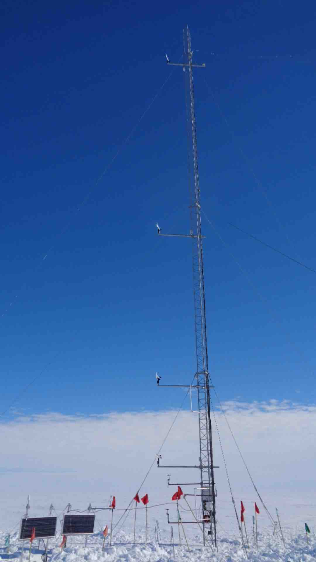 22 Photos 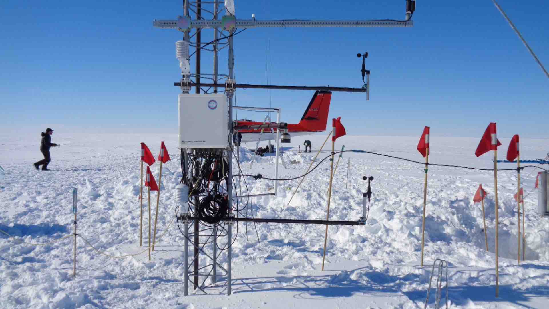  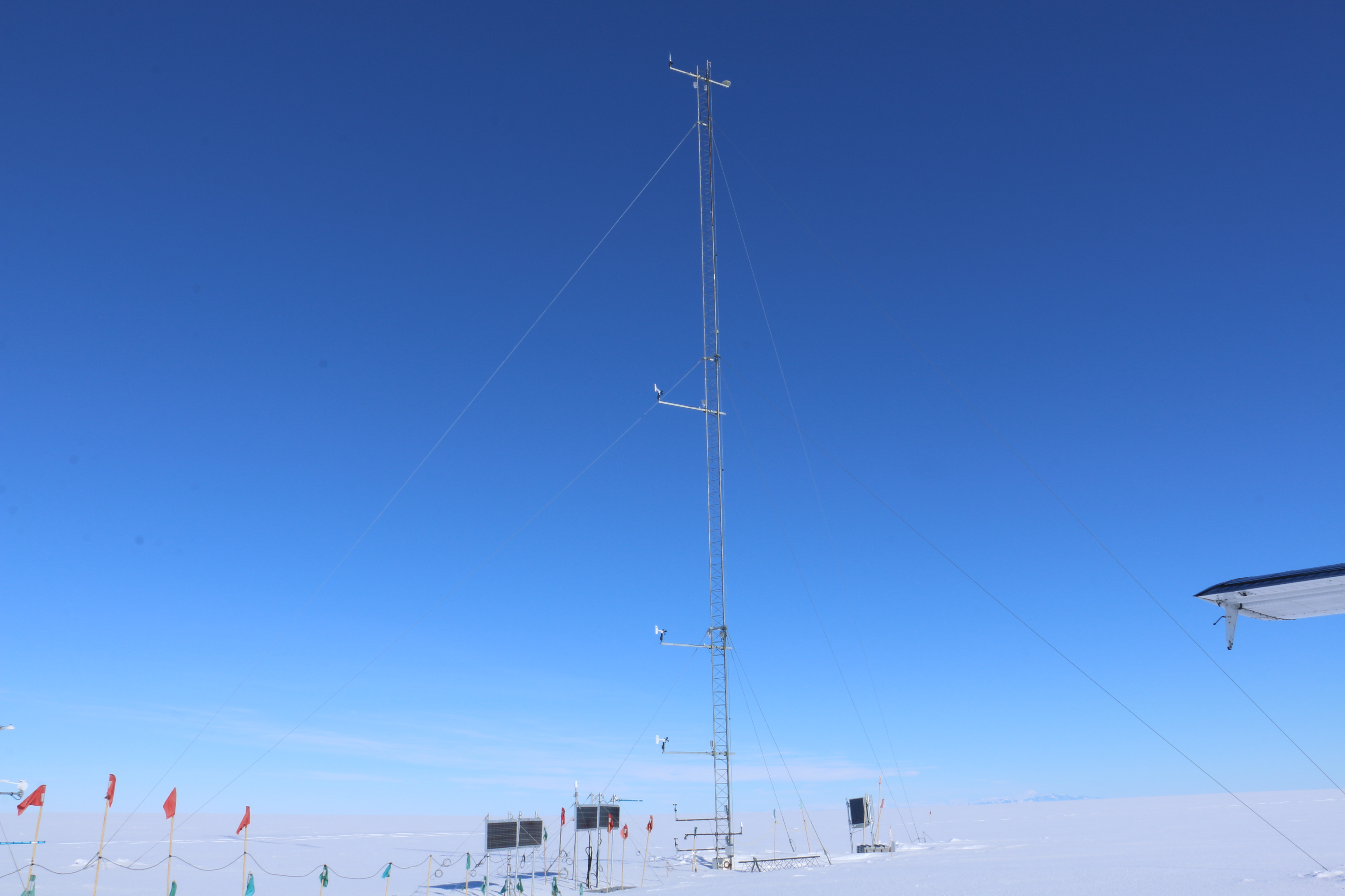 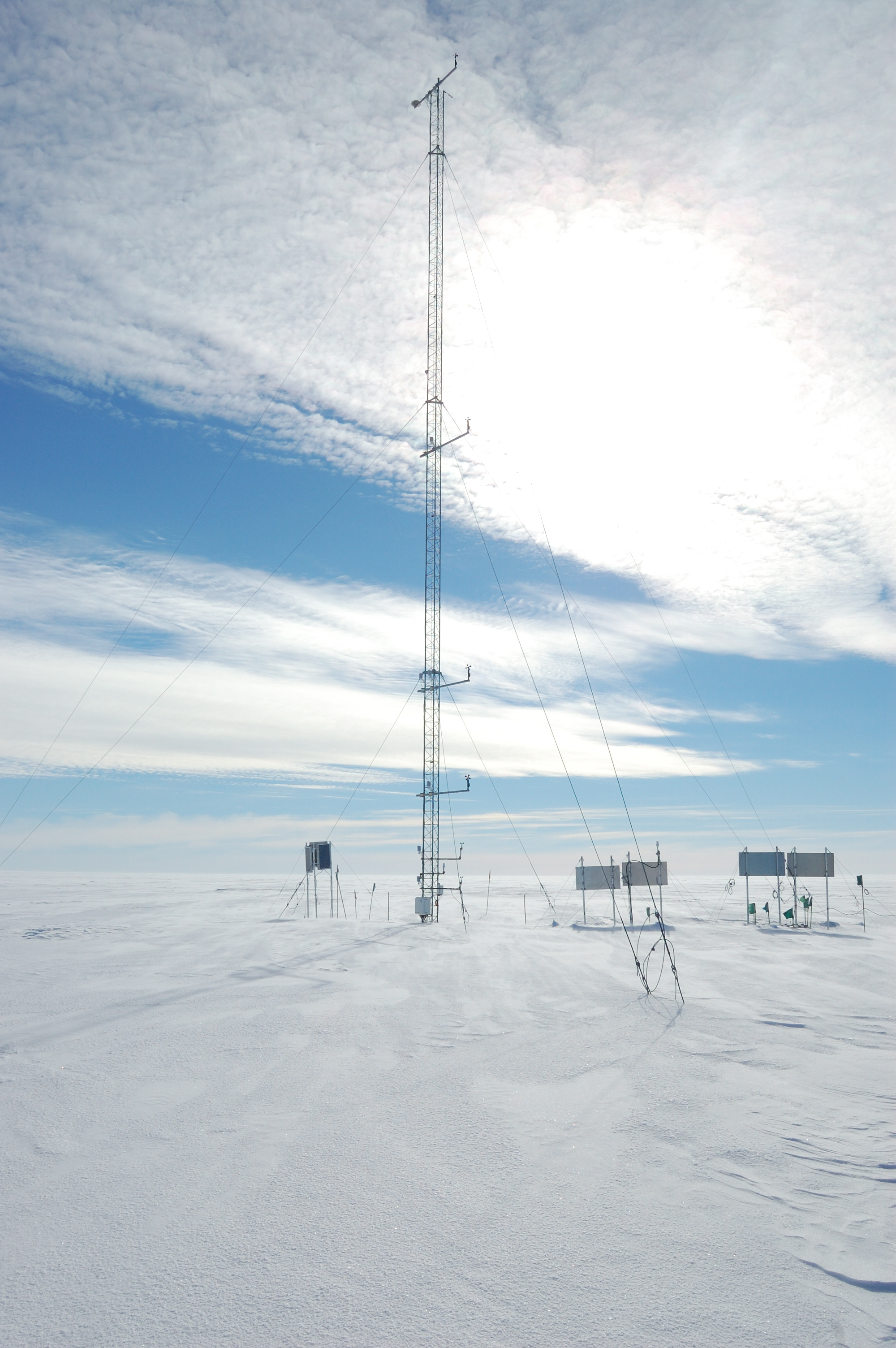  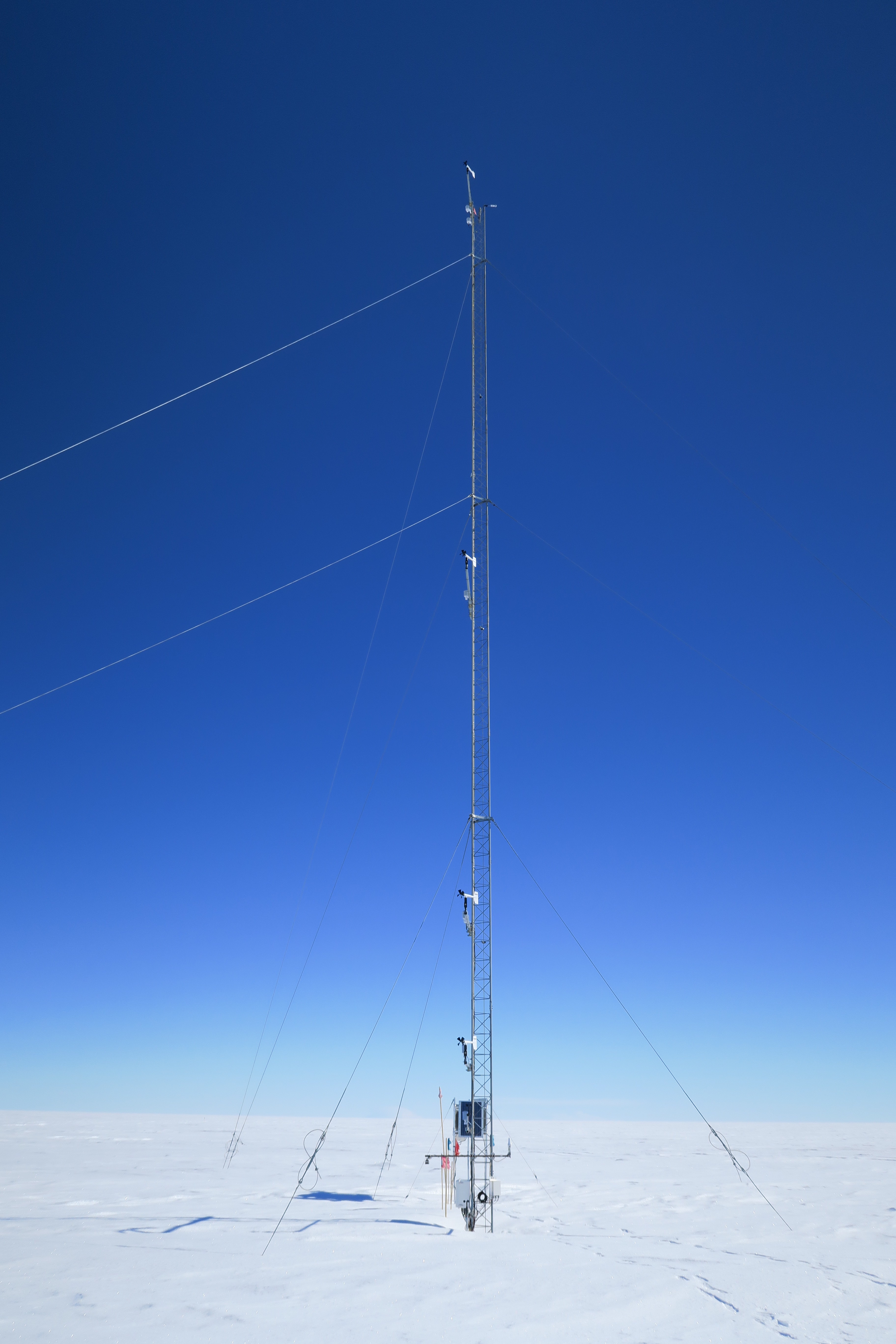 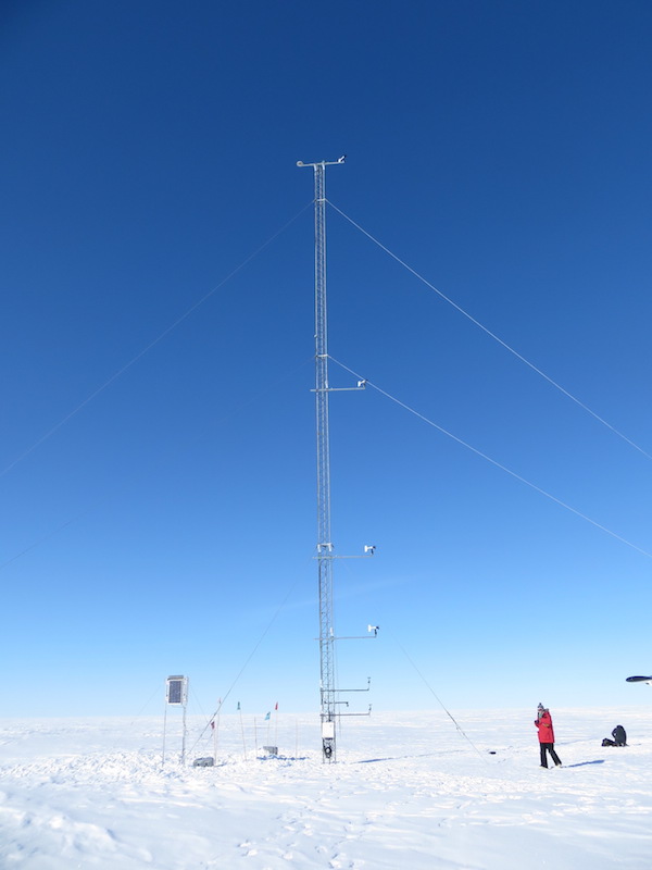  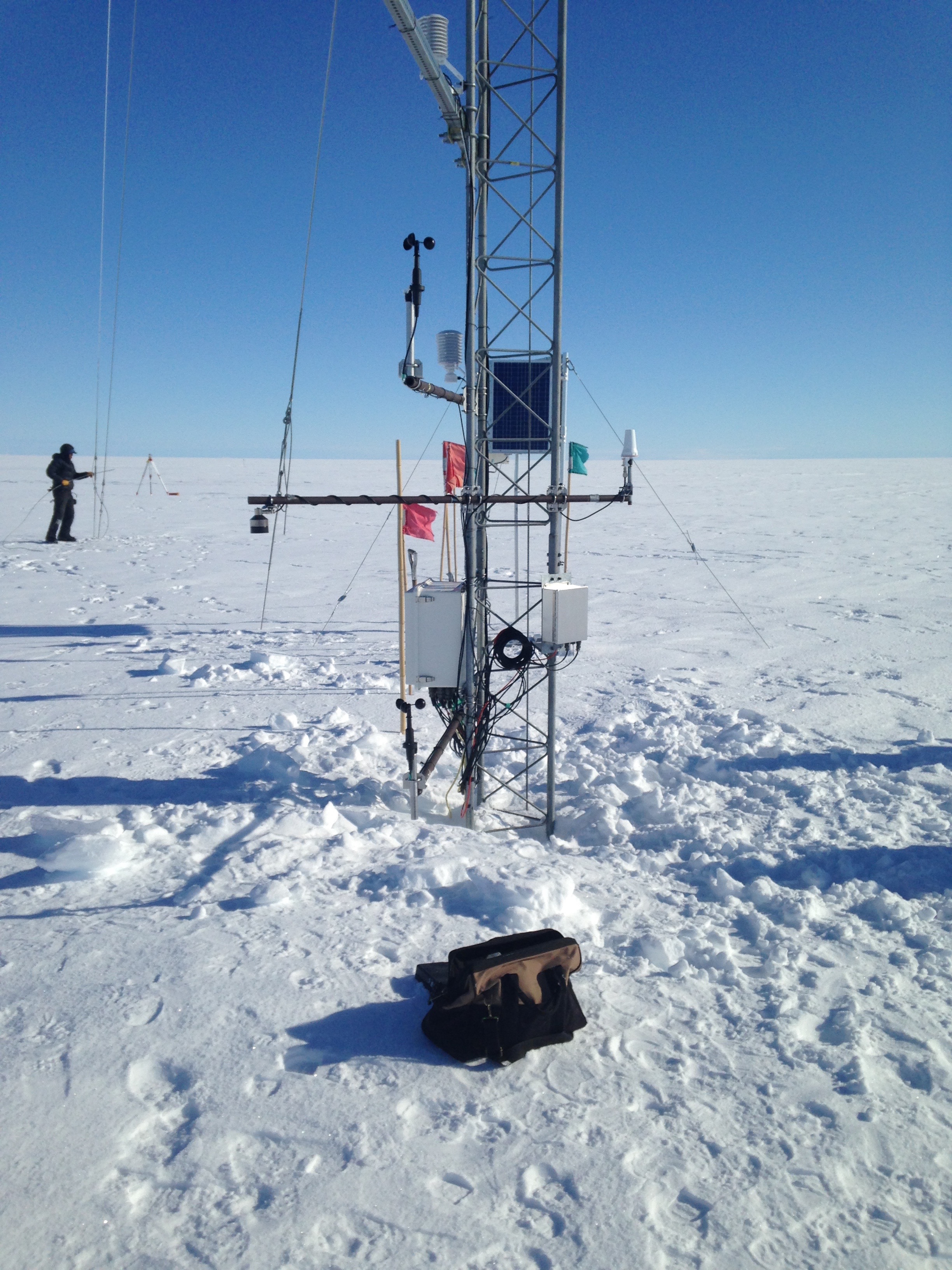 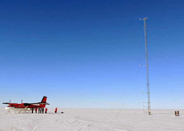  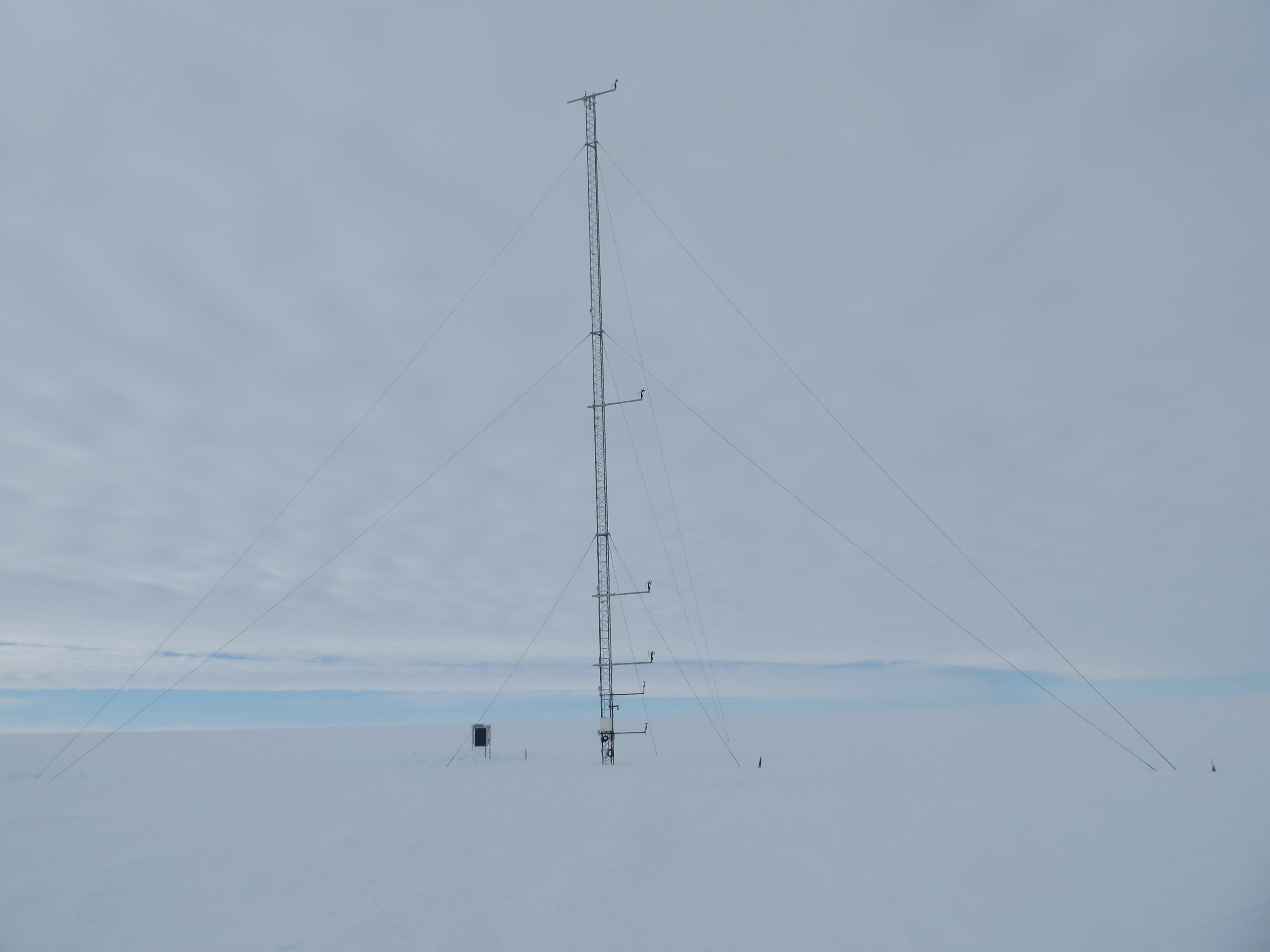 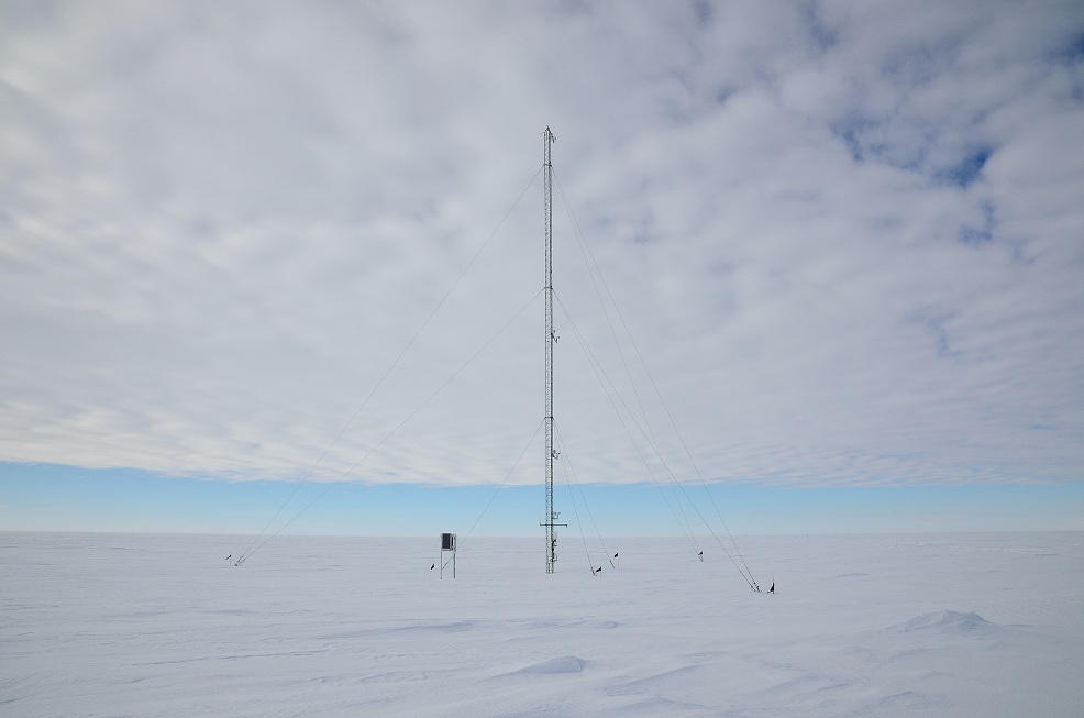 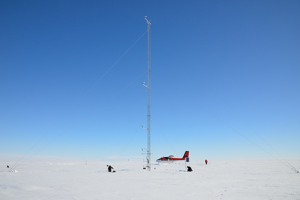 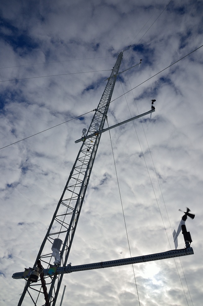   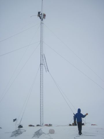 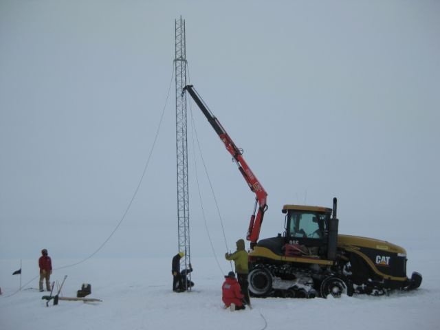 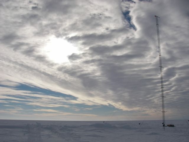 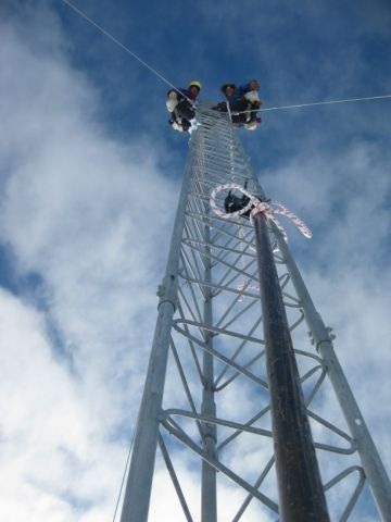 | |||||||||||||||||||||