Dec 4 – Friday
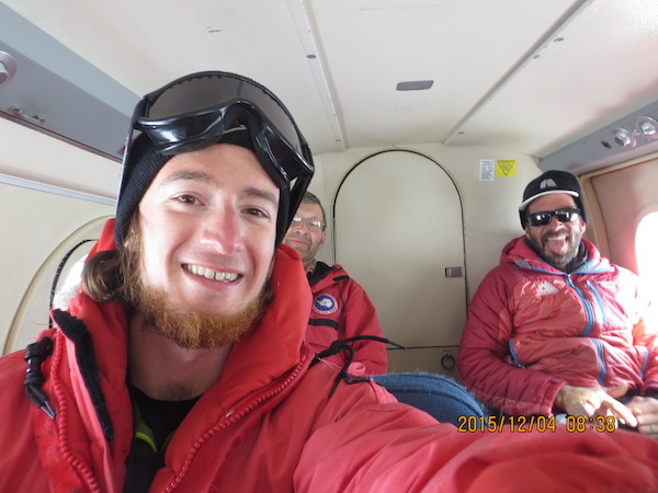
On our third full day at WAIS, Mark and I flew for the second day in a row, this time to Thurston Island AWS. Our plan was to go to both Evans Knoll AWS and Thurston Island AWS, and when going over the weather with the Otter crew before departure, it looked like Evans Knoll had better weather than Thurston Island. We decided to check Evans Knoll first.
With us came John Stone, the aforementioned geologist, and Paul Koubek, a mountaineer. Paul came along because these AWS are on islands covered in ice, and with that comes crevassing as the ice spreads down the slopes of the islands. We wanted to take the extra precaution and have an expert with us to make sure we didn’t walk into a crevasse field. Spoiler alert: We didn’t encounter any crevasses while walking!
As we approached Evans Knoll, cloud cover dominated the area. This led to “flat light” in which the surface features and definitions are very difficult to discern. This made it unsafe for us to land, as the pilots could not distinguish the slopes of the island and therefore find a safe place to land. After circling the island several times they decided we shouldn’t land, so we headed to Thurston Island.
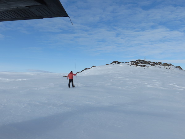
I had it in my head that the weather at Thurston would be similar to Evans Knoll, and we would shortly be heading back to WAIS. I’m very glad that I was mistaken; it was mostly sunny at Thurston, and we circled the island a couple times and then went in for a landing. We taxied close to the nunatak (area of exposed rock in an ice field) where our AWS is located, then Paul got out and checked the surface to make sure it was safe. Sure enough, it was, so we lugged our equipment up the small hill.
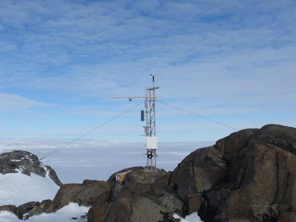
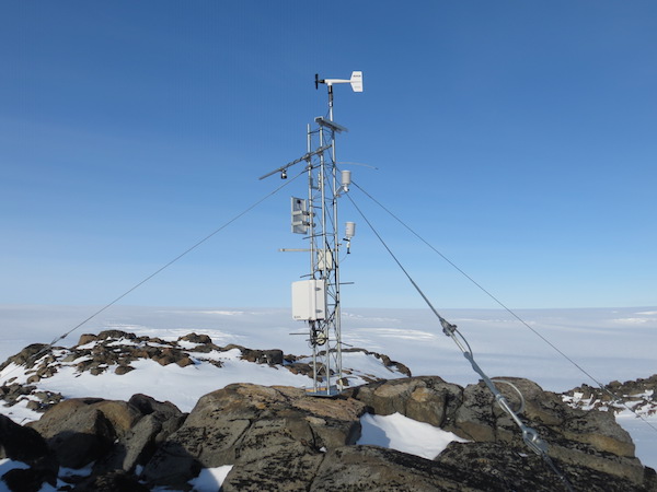
I was not expecting this sight to be as pretty as it was. For starters, the weather was pleasant: temperatures around 20 F and light and variable winds, with sunny skies. Also, being on the highest point of the island (I think) allowed for great views of the area. Setting aside the picturesque scene, Mark and I got to work repairing the station. This site experiences very high winds on occasion (luckily not today!), and because of that the wind monitor and the relative humidity sensor were damaged.
I climbed the tower to replace the nose cone and propeller on the wind monitor. We then removed the old relative humidity sensor and installed a new one. After adjusting the program on the data logger to accommodate the new RH sensor and verifying all data output looked good, we called our work complete and got ready to leave.
While Mark and I were working on our AWS, John and Paul were walking around the exposed rock regions, and John collected some rock samples. We were happy to have John come along and get some use out of this trip!
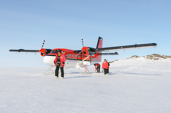
John Stone took this picture of us as we were getting ready to leave. Note how you can see the AWS on the right.
Our flight back to WAIS was a lengthy one: 467 nautical miles, to be exact. It took us about 3.5 hours, and it was the longest Twin Otter flight I had been on. We were also flying relatively high up (~16,000 feet). At this elevation, the lack of oxygen is noticeable. Mark asked the pilots about this after we landed, and they said they flew so high to catch the tail winds and get good fuel efficiency so we wouldn’t have to stop at a fuel cache on the way back to WAIS. No complaints on my end! I was able to read a couple chapters in my book and doze off a couple times. All in all, it was a good day for AWS fieldwork.


